WHITEPAPER: 2025 Global Solar Report: yearly performance trends & benchmarks from 193 GWdc of data
ACCESS REPORT
We lower risks, costs, and losses for solar asset owners
Turn data from the air, ground, sensors, and equipment into performance intelligence that gives you clear-eyed visibility into what needs your attention at each solar plant. Automate time-intensive manual investigations and free up your team's time to focus on action.
Trusted by leading IPPs, regulated utilities, O&Ms, and EPCs around the world
Why Raptor Maps
Manage more solar, with less
Solar's most comprehensive visual analytics suite
From erosion to vegetation to balance of system component defects, our platform analyzes millions of collected images to help you conduct root cause analysis, direct your O&M efforts exactly where you need them, and verify construction and remediation progress.
A more intuitive way to understand your solar plants
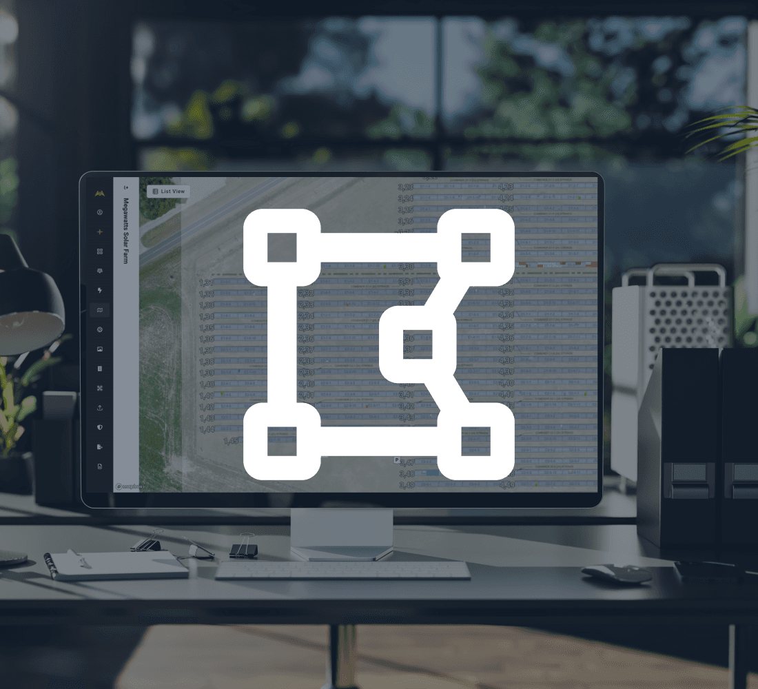
Your solar plants are digitally re-constructed in a map-based interface and enriched with data so you can interact with your data more intuitively.
Your Digital Twin collects, aggregates, and normalizes data from different sources into a clean system of record so that no context is ever lost to history.
More than a raptor's eye view
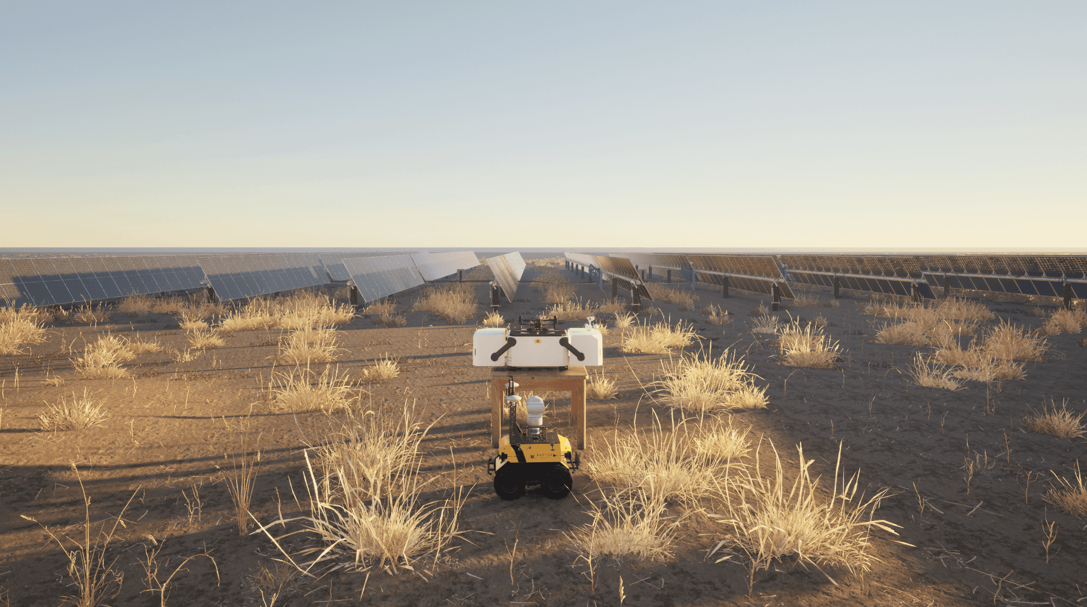
Keep constant eyes on-site with remotely operated autonomous drones. Raptor Solar Sentry can launch missions to investigate site conditions and equipment at anytime without sending anyone out to the site.
Automate time-intensive visual investigations, respond rapidly to alerts and weather events, and keep your teams safe with highly flexible remote inspections.
Field-tested, offline-ready app for your technicians
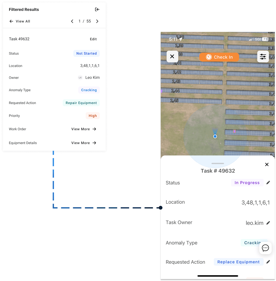
Every layer of the Digital Twin is accessible on web and mobile.
Technicians can use the RS Mobile App to navigate to checklist tasks, access necessary context for remediation, and track the impact of their hard work - even in areas with no cell signal.

2025 Global Solar Report - The State of PV Performance


