Posted On 4/10/18
Yes.
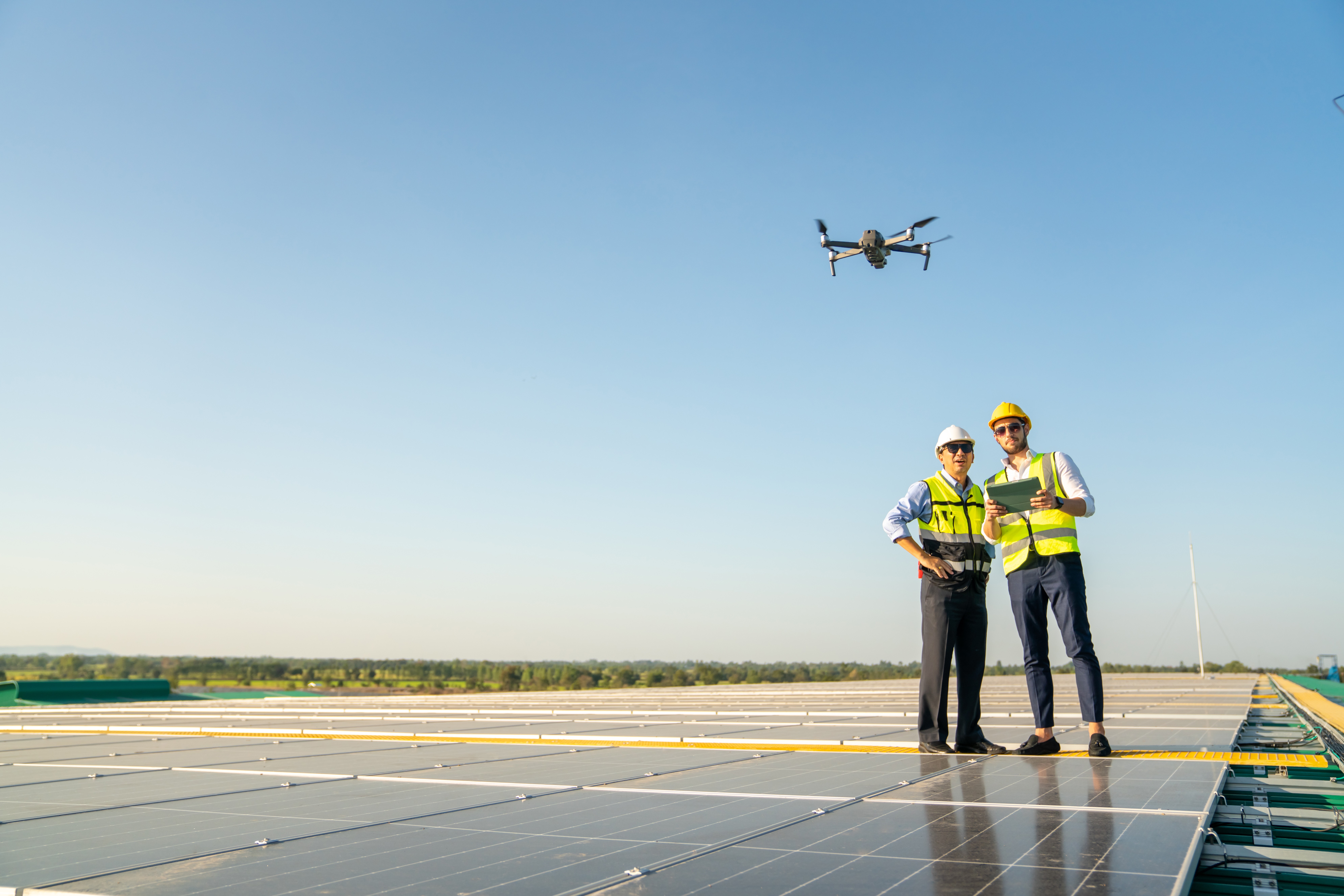
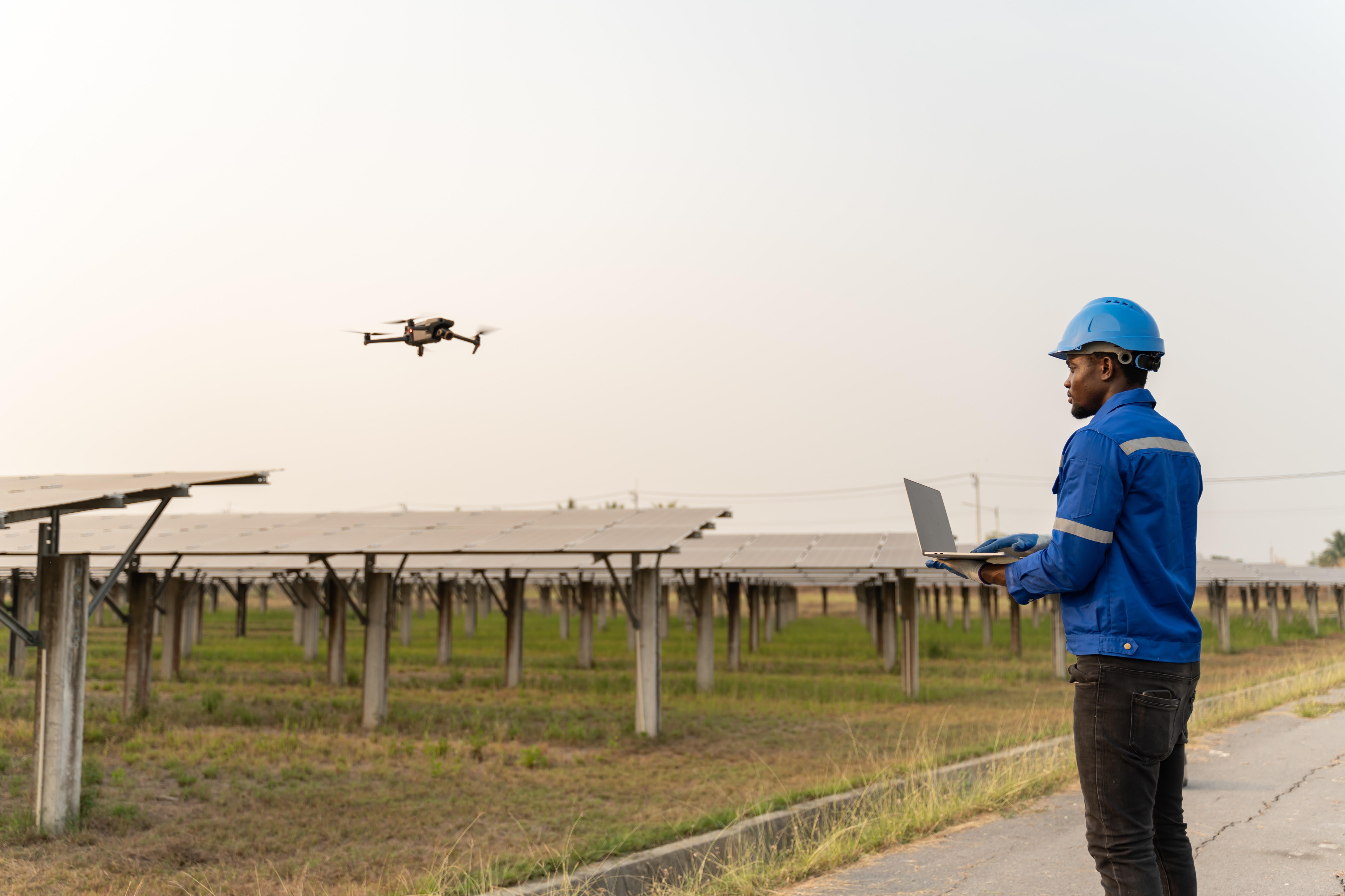
Despite reducing the time to perform a field inspection by more than 90%, drones still create lots of information that has to be reviewed and converted into usable formats. If you’re new to using drones for PV system inspections, you may think that it’s easier and cheaper to manually review this information. However, the thousands of photos or hours of video you capture with your drone require large amounts of time to review. The fact is that artificial intelligence (AI) and machine learning are much more efficient than humans. They also cost less too.
“As soon as you put an infrared camera on a drone, what used to take three days takes two hours instead” – Jason Handley, Director of Smart Grid Technology and Operations, Duke Energy
Duke Energy and other companies involved in owning, operating, and/or managing solar farms are rapidly adopting drones with infrared cameras to replace manual field inspections that often take days to complete. Now, these companies are spending large amounts of time manually analyzing the drone inspection data.
It’s critical to realize that the drone is only half of the solution in order to maximize the ROI of your investment. Today, the technology exists to use the data captured with a drone in a much more automated way with artificial intelligence (AI) and machine learning. This technology solves the bottleneck that quickly forms when you attempt to manually review drone data from a collection of commercial and industrial (C&I) sites, a larger utility-scale site, or an entire portfolio. Raptor Maps’ AI solar software automates the review of both thermal and high-resolution drone captured imagery, turning this data into actionable reports and delivering increased workforce efficiency.
According to Jason Handley of Duke Energy, “As soon as you put an infrared camera on a drone, what used to take three days takes two hours instead,” (AutomationWorld). Drones allow companies to reduce the time to perform a field inspection by more than 90%, but the burden has shifted to manually reviewing this data and convert it into analytics and actionable reports. Recognizing the value of software in the drone space, Handley advocated, “if we can make this work with AI to see where things are failing, it’s going to be a lot better for us going forward.”
“Work smarter…not harder,” – Every PV field technician
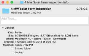
Raptor Maps solar analytics and reporting software solves the issues of internally processing drone data on multiple fronts. Using machine learning software to do this eliminates the need to have skilled technicians or other employees clicking through images for multiple days, trying to find and localize every anomaly. In an industry constantly strained with labor shortages, these employees can instead apply their talents towards more skilled task.
AI software has the ability to review hundreds of megawatts of aerial thermal and color imagery in a fraction the time a group of people are capable of. It is less expensive to pursue this option over paying an entire team to manage and execute data analyzation. In addition, computers and AI are not prone to the same errors as humans and increases reporting accuracy and consistency across portfolios of PV sites. While drone technology has been utilized by leading electric companies to improve speed and safety for solar farm inspection, its value is not fully maximized without a software application.
You can learn more about Raptor Maps AI solar software here or you can contact us for more information here.
Contact us
Raptor Maps is building the digital foundation for a more resilient and scalable solar. From construction to end-of-life, we are your long-term software partners to ensure your sites are operating as expected and producing reliable energy to support the energy transition.
