Posted On 2/6/18
The 5 Fundamentals of Inspecting PV Systems with a Drone
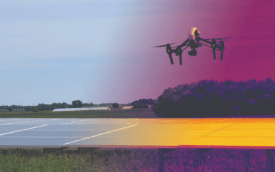
Are you using drones to inspect solar farms? Solar farm inspection is the leading industrial application for infrared (IR) thermal imaging with drones. Solar power is the fastest-growing source of new energy in the world, with 2018 expected to be a record-breaking year.
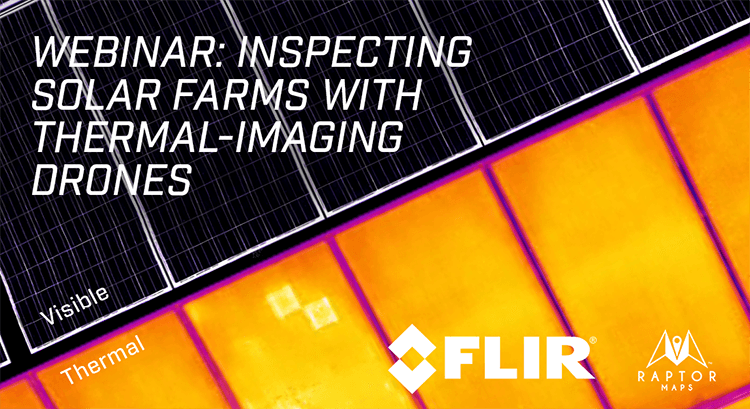
That’s why FLIR & Raptor Maps are teaming up for a live global webinar on Tuesday, March 6th to help you fully understand the basics of how to use this technology, and the few simple steps you need to get started.
Tune into the webinar to learn:
The basics of operating a drone for business purposes
The value of aerial thermal imaging for PV system inspections
How to plan your inspection flight for different sites
How to collect high-quality data in the least amount of time
What the most valuable deliverables are for solar technicians and site owners
Drone infrared imaging is a critical tool for O&M, EPC, owner’s engineers, and drone service providers. With an emphasis on providing cost-saving, reliable, and labor efficient inspections; aerial inspections improve the longevity of infrastructure and overall energy output. Solar inspections are one of the many ways drones are making game-changing impact in the workplace.
Find out why solar companies with gigawatt portfolios are making drones a part of their regular inspections.
Live Webinar: March 6, 2018 at 1:00 PM EST
Followed by a 30-minute Live Q&A
Contact us
Raptor Maps is building the digital foundation for a more resilient and scalable solar. From construction to end-of-life, we are your long-term software partners to ensure your sites are operating as expected and producing reliable energy to support the energy transition.
