Solutions

How you benefit

Resources

About

Solutions

How you benefit

Resources

About

/

Raptor Maps and senseFly Partner to Deliver Best In Class Thermal Drone Inspection Solution

Raptor Maps and senseFly Partner to Deliver Best In Class Thermal Drone Inspection Solution

Raptor Maps and senseFly Partner to Deliver Best In Class Thermal Drone Inspection Solution

Raptor Maps and senseFly Partner to Deliver Best In Class Thermal Drone Inspection Solution

Raptor Maps and senseFly Partner to Deliver Best In Class Thermal Drone Inspection Solution

Posted On 5/1/19

senseFly introduces the Solar 360 thermal drone solution with Raptor Maps for uniquely efficient solar farm inspections We’re excited to announce that Raptor Maps, a Boston-based enterprise software company, has partnered with the Swiss-based drone provider senseFLY on the new senseFLY Solar 360.

senseFly introduces the Solar 360 thermal drone solution with Raptor Maps for uniquely efficient solar farm inspections We’re excited to announce that Raptor Maps, a Boston-based enterprise software company, has partnered with the Swiss-based drone provider senseFLY on the new senseFLY Solar 360.

senseFly introduces the Solar 360 thermal drone solution with Raptor Maps for uniquely efficient solar farm inspections We’re excited to announce that Raptor Maps, a Boston-based enterprise software company, has partnered with the Swiss-based drone provider senseFLY on the new senseFLY Solar 360.

senseFly introduces the Solar 360 thermal drone solution with Raptor Maps for uniquely efficient solar farm inspections We’re excited to announce that Raptor Maps, a Boston-based enterprise software company, has partnered with the Swiss-based drone provider senseFLY on the new senseFLY Solar 360.


senseFly introduces the Solar 360 thermal drone solution with Raptor Maps for uniquely efficient solar farm inspections


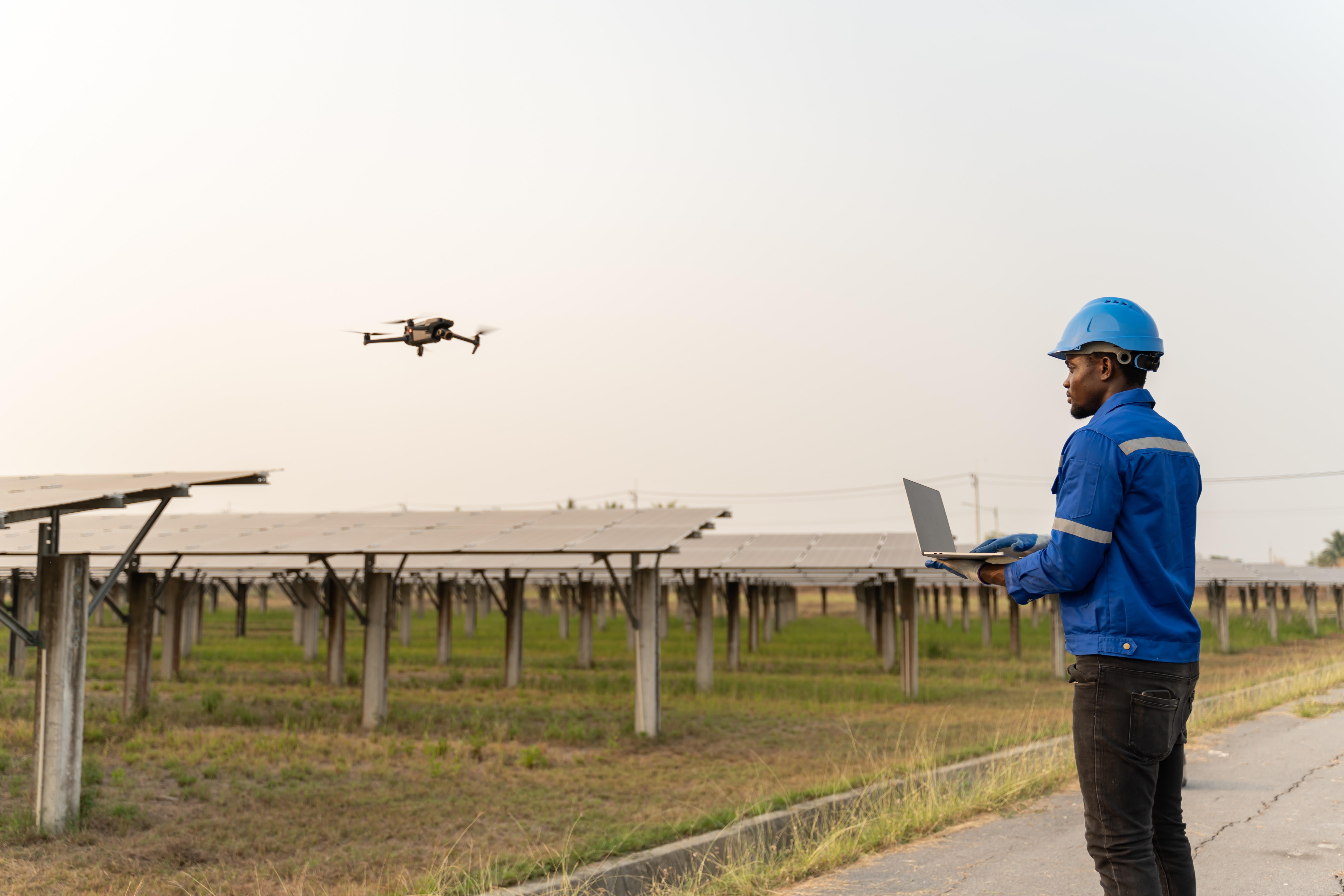
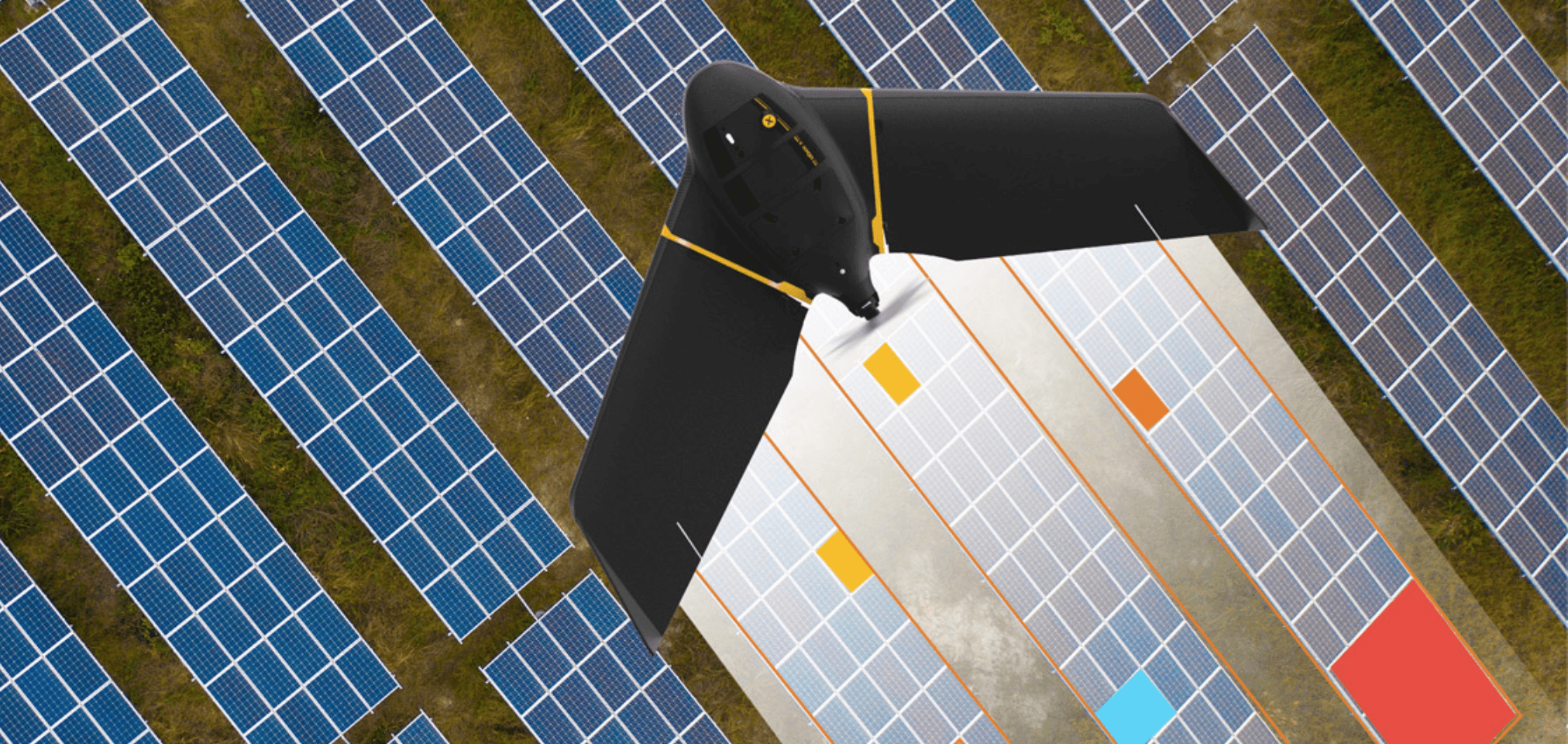
We’re excited to announce that Raptor Maps, a Boston-based enterprise software company, has partnered with the Swiss-based drone provider senseFLY on the new senseFLY Solar 360. The collaboration between the two companies brings artificial intelligence solar software to industry-leading fixed wing drones. The automated thermal drone solution, combined with Raptor Maps’ software, is designed to maximize efficiency of solar farm inspections.

Created by combining eBee X fixed-wing drone technology, senseFly’s Duet T thermal mapping camera, and Raptor Maps’ software, senseFly Solar 360 is a fast and fully-automated solution. It is easily integrated into solar management workflows without requiring either drone piloting skills or the manual analysis of aerial solar farm data.

“At senseFly we are continually looking across the industry to identify new commercial partners with whom we can bring to market what our customers need, which is vertically-focused end-to-end solutions,” said Gilles Labossière, CEO of senseFly. “With Raptor Maps, we are collaborating with a true solar industry pioneer. Their software takes the guesswork out of solar farm inspection and, crucially, speeds up this process — from days down to hours. This efficiency, combined with the eBee X’s large coverage and reliability, ensures that farm owners and operators — or the drone service providers they employ — can inspect utility-scale solar farms more quickly, easily, and accurately than ever before.”


 “Solar power is the largest source of new energy generation in the world,” said Nikhil Vadhavkar, CEO of Raptor Maps. “This rapid growth has fueled demand for industry-specific solutions to allow solar customers to scale. Our enterprise-grade software has been deployed across six continents and 25 million solar panels to increase power production and reduce risk and maintenance cost across solar portfolios. We are proud to collaborate with senseFly, the industry leaders in commercial fixed-wing drones, to increase access to Raptor Maps while providing a comprehensive, end-to-end solution that scales with the solar industry.”

If you’d like to read the entire press release, it can be found here


For more information on the Raptor Maps software platform please click here or fill out our Contact US form on this page.

Contact us

Raptor Maps is building the digital foundation for a more resilient and scalable solar. From construction to end-of-life, we are your long-term software partners to ensure your sites are operating as expected and producing reliable energy to support the energy transition.

© 2023 Raptor Maps, Inc.

444 Somerville Ave.
Somerville, MA 02143

Stay Up to Date

Subscribe to our newsletter and stay informed about innovations in solar asset optimization, deploying robotics for solar, our research and testing with OEMs, the latest in our product development, and more.

© 2023 Raptor Maps, Inc.

444 Somerville Ave.
Somerville, MA 02143

Stay Up to Date

Subscribe to our newsletter and stay informed about innovations in solar asset optimization, deploying robotics for solar, our research and testing with OEMs, the latest in our product development, and more.

© 2023 Raptor Maps, Inc.

444 Somerville Ave.
Somerville, MA 02143

Stay Up to Date

Subscribe to our newsletter and stay informed about innovations in solar asset optimization, deploying robotics for solar, our research and testing with OEMs, the latest in our product development, and more.

© 2023 Raptor Maps, Inc.

444 Somerville Ave.
Somerville, MA 02143

Stay Up to Date

Subscribe to our newsletter and stay informed about innovations in solar asset optimization, deploying robotics for solar, our research and testing with OEMs, the latest in our product development, and more.

This website uses cookies

This website stores cookies on your computer to track usage across media in accordance with our Privacy Policy.

Decline

Accept

This website uses cookies

This website stores cookies on your computer to track usage across media in accordance with our Privacy Policy.

Decline

Accept

This website uses cookies

This website stores cookies on your computer to track usage across media in accordance with our Privacy Policy.

Decline

Accept

This website uses cookies

This website stores cookies on your computer to track usage across media in accordance with our Privacy Policy.

Decline

Accept