Posted On 3/20/18
Put Drones to Work for Your Business.
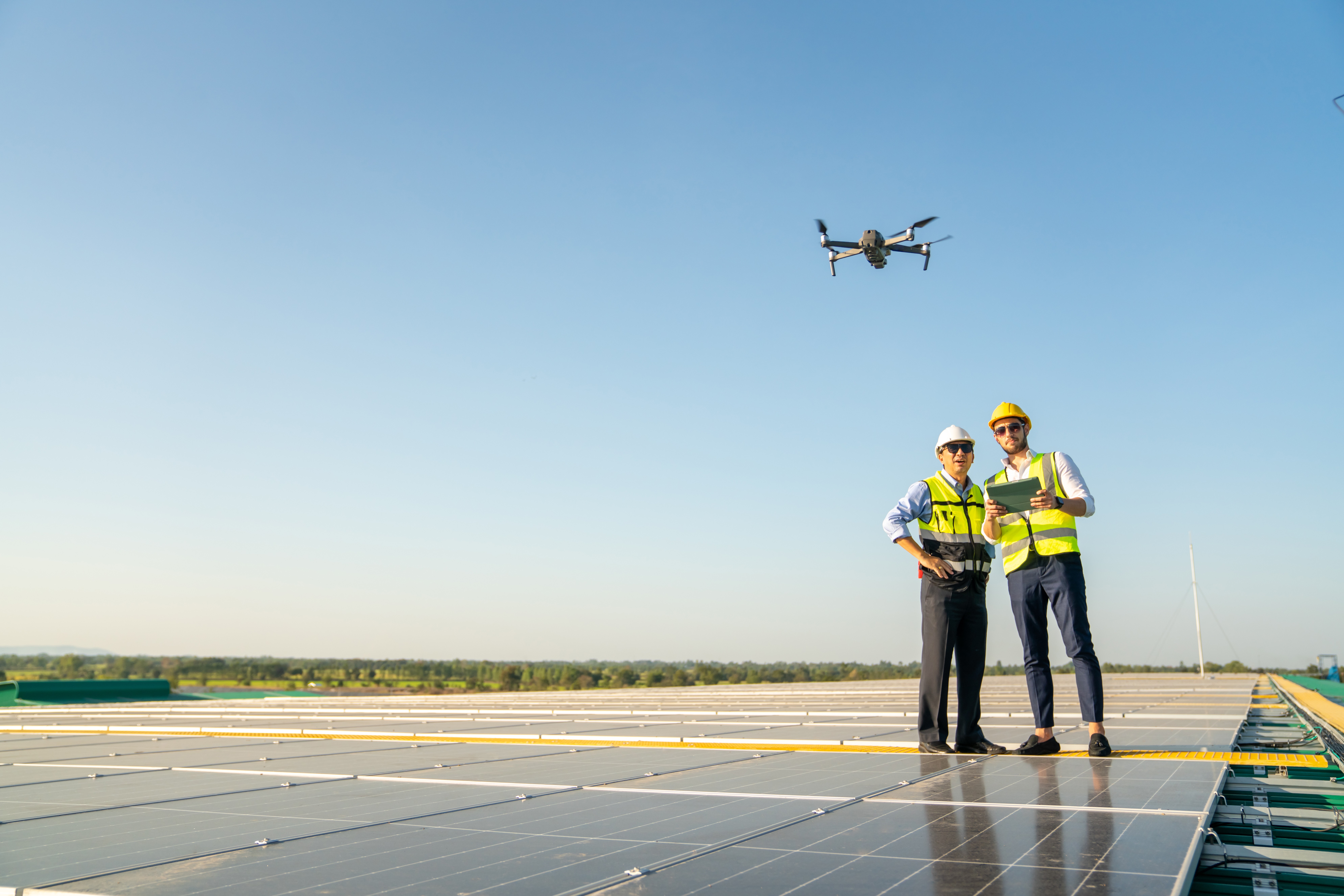
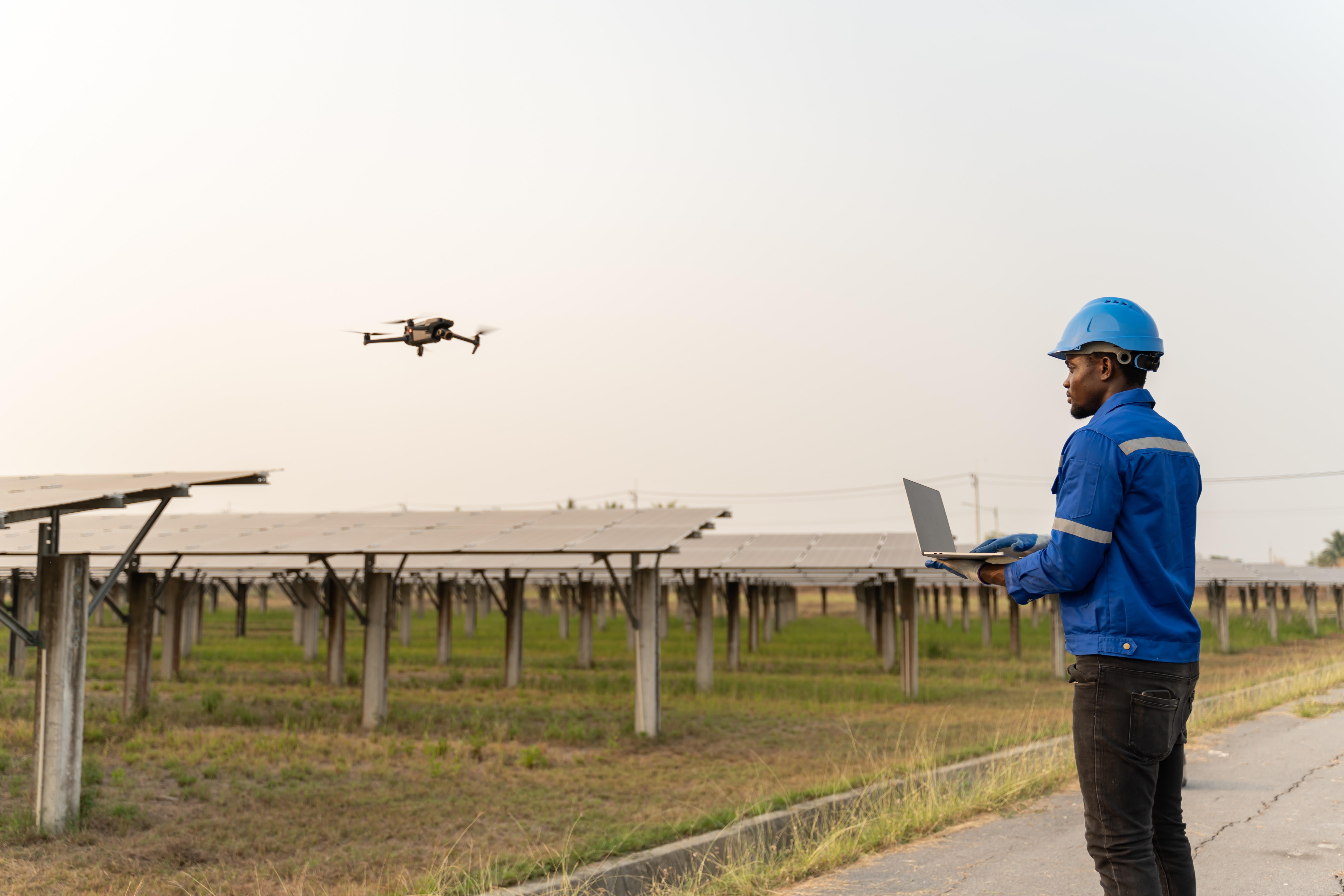
Drones are reducing labor costs, maximizing performance, and providing granular insights for PV systems. The technology is now mature enough to support aerial thermography, capturing PV system performance data with thermal infrared (IR) cameras.
Our CEO, Nikhil Vadhavkar, recently authored an article on the value unmanned aerial vehicles (UAVs) AKA drones bring to the Solar industry. O&M providers, EPC firms and asset owners are adopting drone technology around the world to reduce cost and increase efficiencies within C&I to Utility scale plants.
Topics covered includes details on what drones can detect, making drone data actionable, equipment and format considerations, and understanding the basics of using drone technology for PV system inspections.
“This year, we are flying drones over most of our power plants under management. Asset owners are recognizing that drones can replace the majority of I-V curve tracing, which enables us to provide a faster, more detailed analysis and maximize output.”

Contact us
Raptor Maps is building the digital foundation for a more resilient and scalable solar. From construction to end-of-life, we are your long-term software partners to ensure your sites are operating as expected and producing reliable energy to support the energy transition.
