/
Webinar Recap: One-on-One with Gresco and Raptor Maps: UAS, Solar Software, and PV System Inspection Reports
Posted On 5/28/18

Raptor Maps partnered with Gresco for a webinar covering the specifics of UAS, Solar Software, and PV System Inspection Reports. The goals of the webinar were to break down:
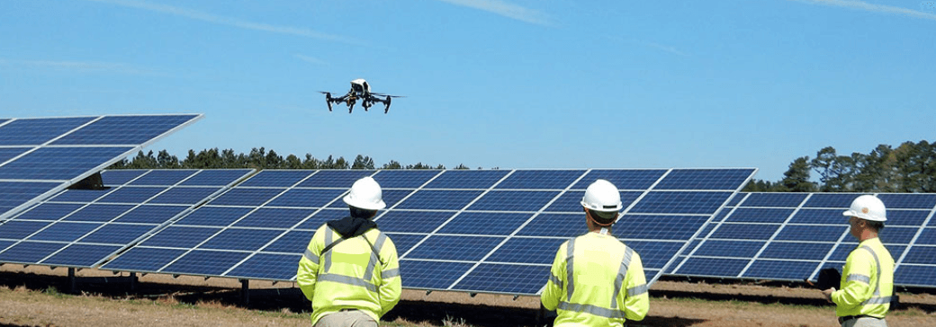
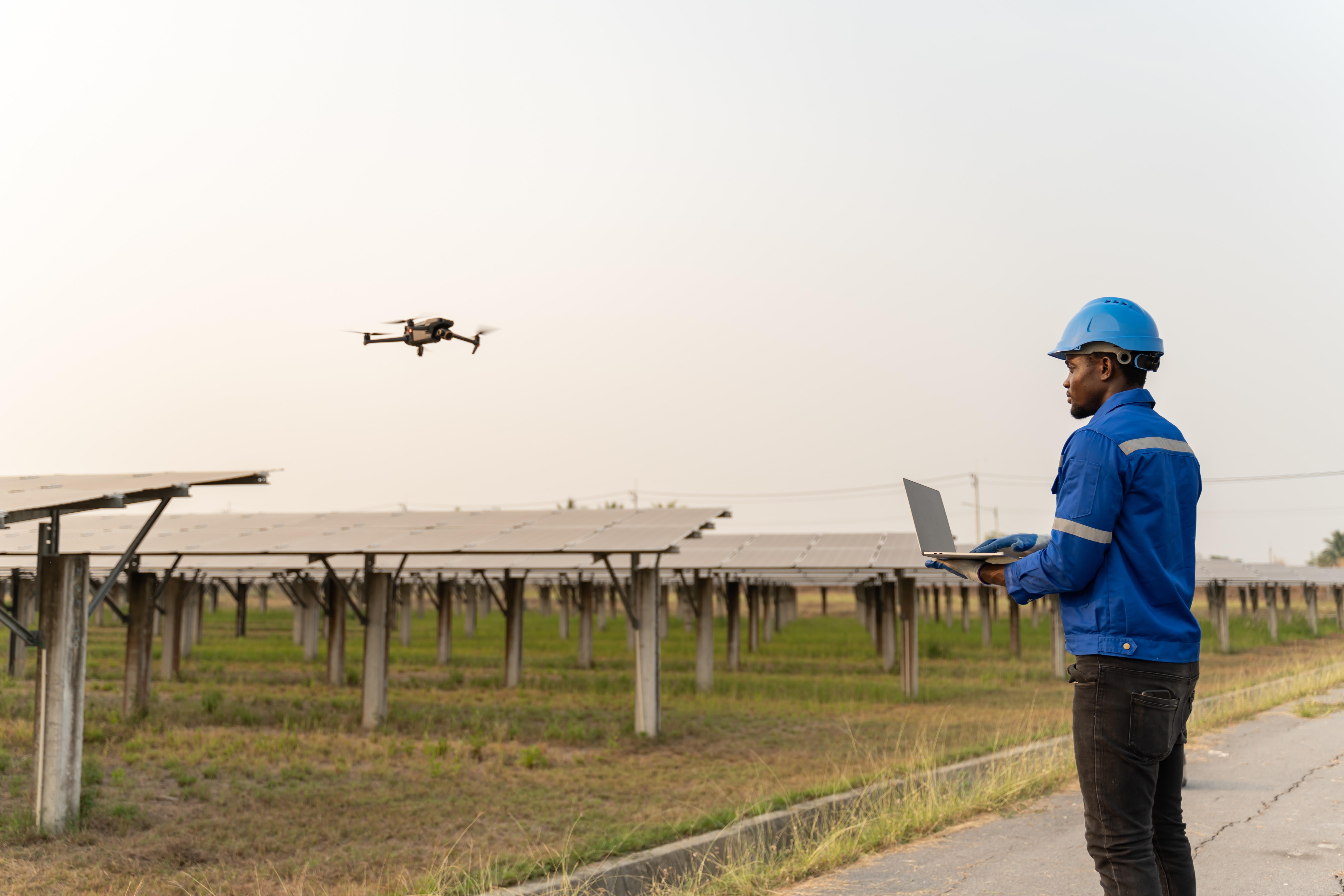
Why UAS (drones) are a valuable tool when it comes to managing and inspecting solar farm(s) for performance issues
What drone models and cameras are recommended for performing PV system inspections
Opportunities to incorporate drones across the lifecycle of a PV system, from construction to O&M
How teams can turn radiometric (thermal) and RGB data collected during a drone inspection of a solar farm into actionable reports
The entire webinar can be viewed below for anyone who was unable to tune in live. The following is a summary of the central themes discussed in the webinar.
Why UAS (Drones) Are a Valuable Tool for Management and Maintenance of Solar Assets
Aerial drone asset inspections have become the most effective and comprehensive method of solar maintenance and management. Drones provide an eye in the sky and help asset owners and managers cut the time and manpower needed to keep their PV systems operating efficiently. Construction progress monitoring, site selection, and preventative maintenance inspections of solar assets are only a few of the many ways drones provide value to utilities, renewable energy, and engineering companies working in the solar industry.
Companies involved in the construction of PV systems can use weekly drone scans and data analytics to deliver inspection reports that track progress, evaluate growth, and stay on schedule for project completion. Aerial inspection data also allows for comparison between different parts of a site or different sites across your portfolio, to properly maintain and manage your solar installations. As a tool for site selection, asset owners can get the data to help them evaluate sites with topographic, grade, and shading considerations, and determine the best location for their solar project.
What Drone Models and Cameras are Recommended for Performing PV System Inspections
Raptor Maps and Gresco suggest specific types of hardware when it comes to flying solar. The most important is a multi-copter drone, that can be mounted with a radiometric (thermal) camera, and has extended flight times to accommodate larger PV system inspections. The DJI Matrice 200 series drone is a highly recommended model that checks off all boxes for these inspections.
For solar farm inspections, we suggest performing two flights as part of your data collection or flying with a camera that allows you to collect both radiometric (thermal) data and RGB imagery simultaneously, such as the DJI Zenmuse XT2. We strongly recommend a radiometric 13mm 640×512 30Hz camera model IR solar inspections.
To learn more about why you should inspect a solar farm with an infrared AND a high-resolution color (RGB) imaging camera click here.
Opportunities to Incorporate Drones Across the Lifecycle of a PV System
Drones and the data they generate are used by a wide range of individuals in the solar industry. Field technicians and asset owners may simply look at the aerial images to gain a better knowledge about the functionality of the solar farm. However, others have a robust profile in Raptor Maps to analyze the identified defects that are reducing the production of their PV systems.
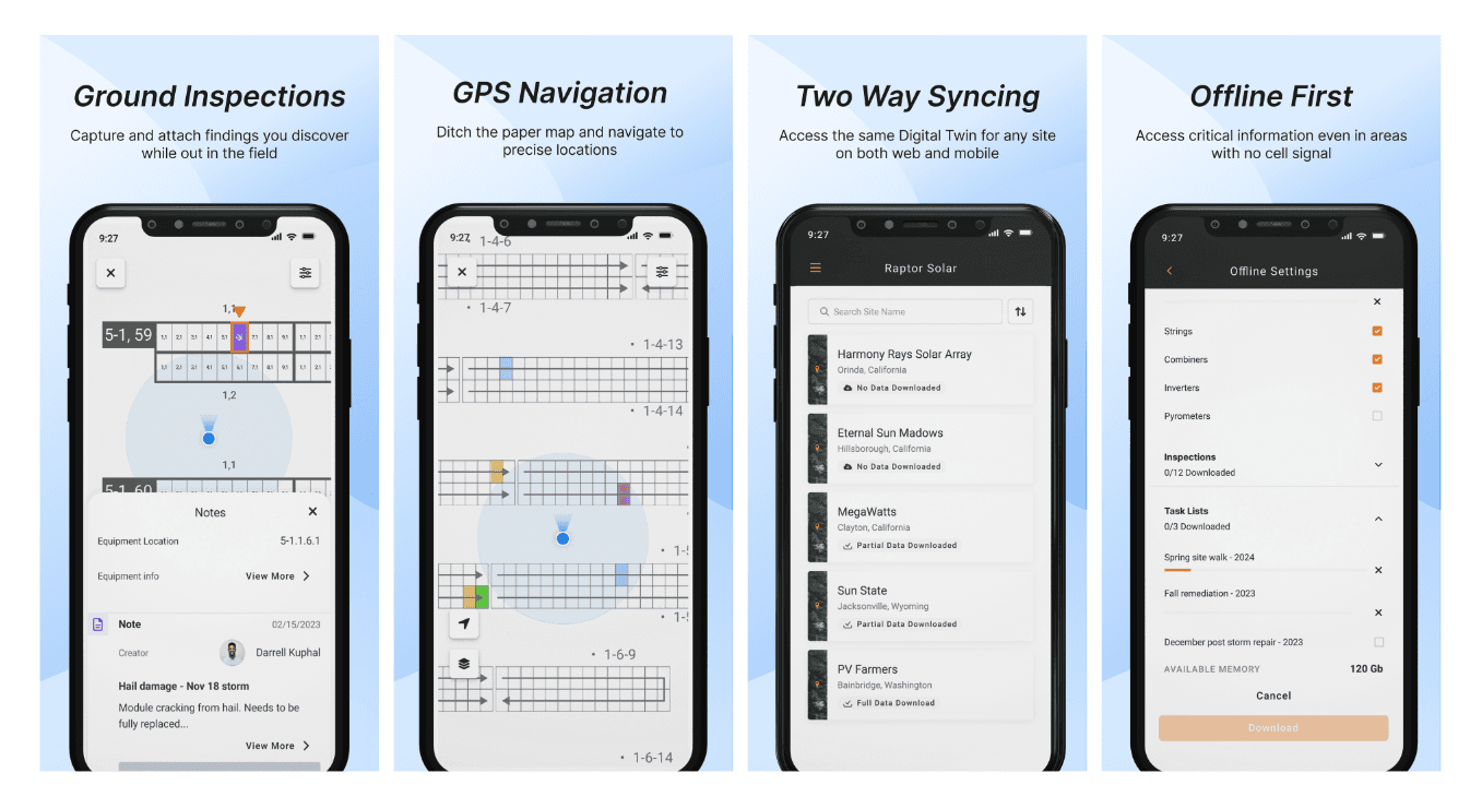
Raptor Maps software turns your drone inspection data into comprehensive system analytics and actionable reports. This allows solar asset owners, performance managers, and field technicians to stay up to date on the health of their PV system, drive productivity, and reduce costs.
How Raptor Maps Enables Teams to Turn UAS Data Into Actionable Reports
Raptor Maps software provides detailed inspection data analysis using artificial intelligence and machine learning for both thermal and high-resolution color imagery of solar farms from 100 kWp to 300+ MWp.
Raptor Maps software automatically produces a PV system inspection report with analytics generated during data review. Identified anomalies are classified by type and localized within the site, enabling technicians to effectively respond to site defects. We offer a sample PV system report here.
Comprehensive reports help Asset Management and O&M isolate areas with the most loss, identify root causes, confirm site commissioning, and provide the proof needed for warranty claims with the EPC or module manufacturer.
Are you interested in learning more about UAS, drone inspections of solar assets, and having your data converted PV analytics and system reports? If so, please contact us here and our team will be in touch.
About Gresco, Gresco Technology Solution is a division of Gresco Utility Supply, Inc. For more than 50 years, Gresco has served the utility and electrical supply needs of hundreds of customers in the Southeast region. It is their mission to serve their industry partners in a manner that exceeds expectations, at a price that is within your budget. Gresco understands that you have commitments to fulfill with your customers, just as they do to you. Gresco has extensive experience working with; Rural Electric Co-Operatives (Co-Ops), Investor Owned Utilities (IOUs), Municipals (Munis), and Contractors.
Contact us
Raptor Maps is building the digital foundation for a more resilient and scalable solar. From construction to end-of-life, we are your long-term software partners to ensure your sites are operating as expected and producing reliable energy to support the energy transition.


