Analyze
alerts
erosion
cracking
DC health
AC health
fire risk
damage
wiring
trackers
perimeters
alerts
alerts
erosion
cracking
DC health
AC health
fire risk
damage
wiring
trackers
perimeters
alerts
alerts
erosion
cracking
DC health
AC health
fire risk
damage
wiring
trackers
perimeters
alerts
alerts
erosion
cracking
DC health
AC health
fire risk
damage
wiring
trackers
perimeters
alerts
alerts
erosion
cracking
DC health
AC health
fire risk
damage
wiring
trackers
perimeters
alerts
across your fleet
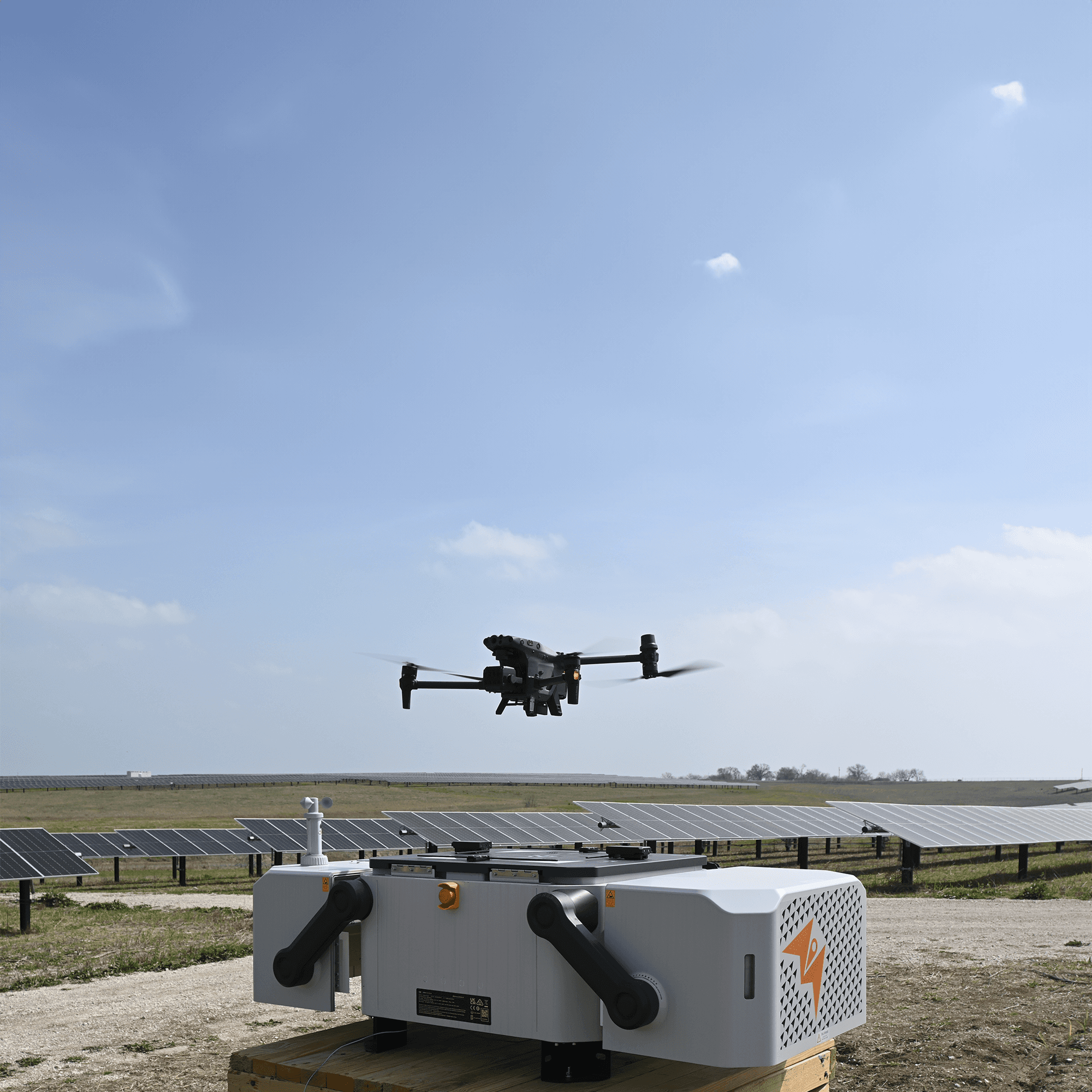
Solar’s most comprehensive visual analytics suite. Inform remediation and asset management with accurate, granular insights. Replace manual visual inspections and site walks with piloted or remotely operated drone inspections, freeing up your team’s valuable time to focus on action not investigation.


ANALYTICS CATEGORIES
Hover over to see detail
TAP TO SEE DETAIL
TAP to see detail
TAP TO SEE DETAIL
Equipment health

Equipment health

Equipment health

Equipment health
Balance of system component defect detection

Balance of system component defect detection

Balance of system component defect detection

Balance of system component defect detection
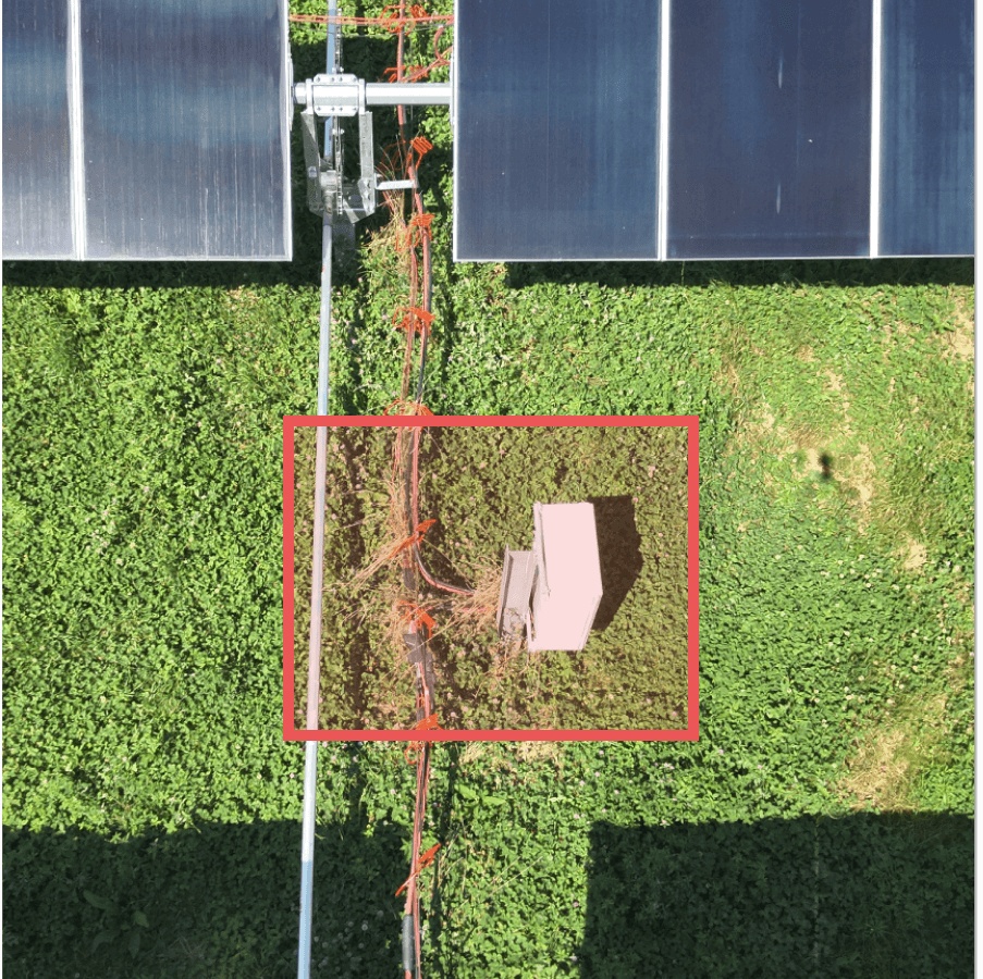
Vegetation and fire risk monitoring

Vegetation and fire risk monitoring

Vegetation and fire risk monitoring

Vegetation and fire risk monitoring
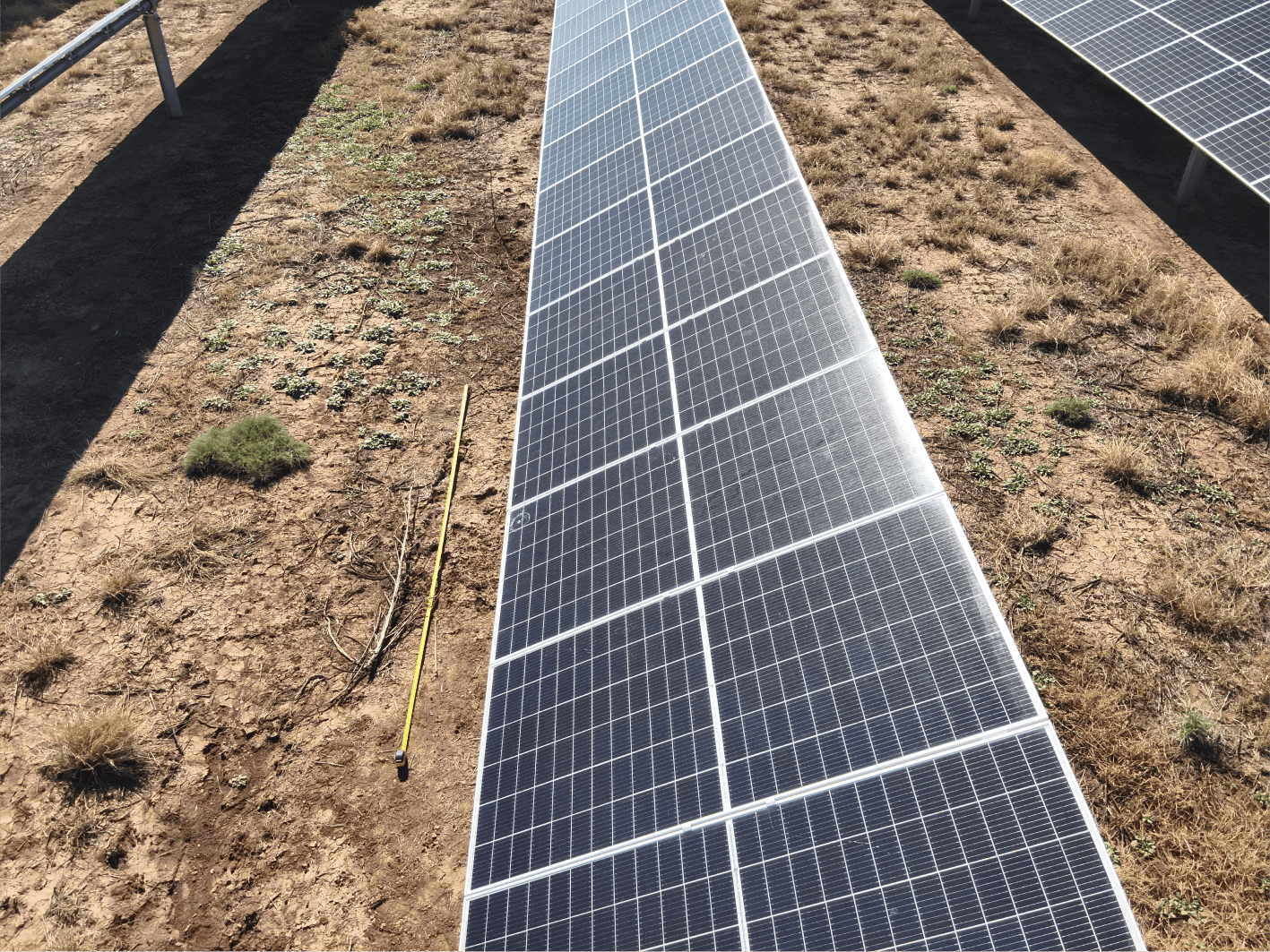
Module cracking

Module cracking

Module cracking

Module cracking

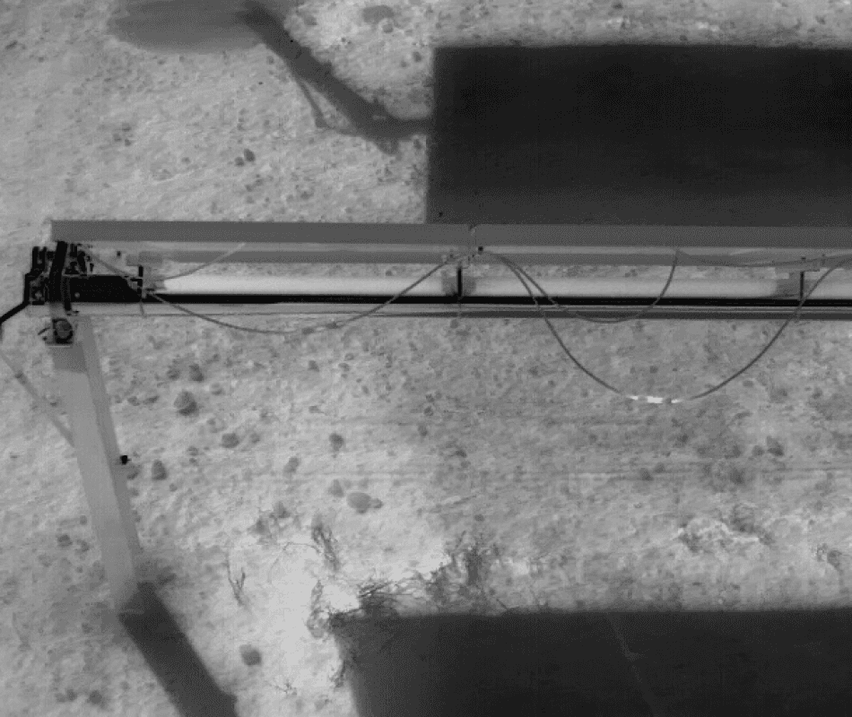
Tracker misalignment and malfunction

Tracker misalignment and malfunction

Tracker misalignment and malfunction

Tracker misalignment and malfunction
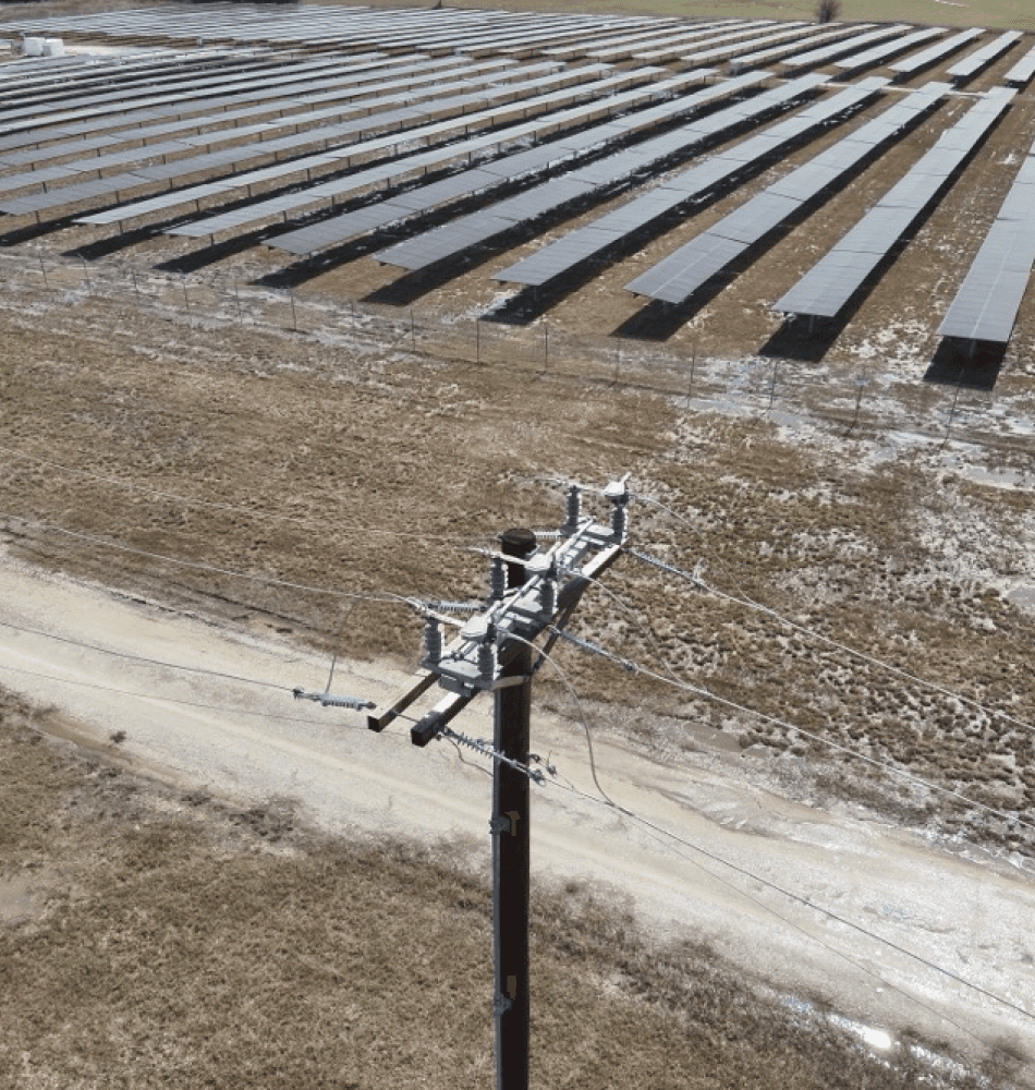
Grid interconnection pole inspection

Grid interconnection pole inspection

Grid interconnection pole inspection

Grid interconnection pole inspection
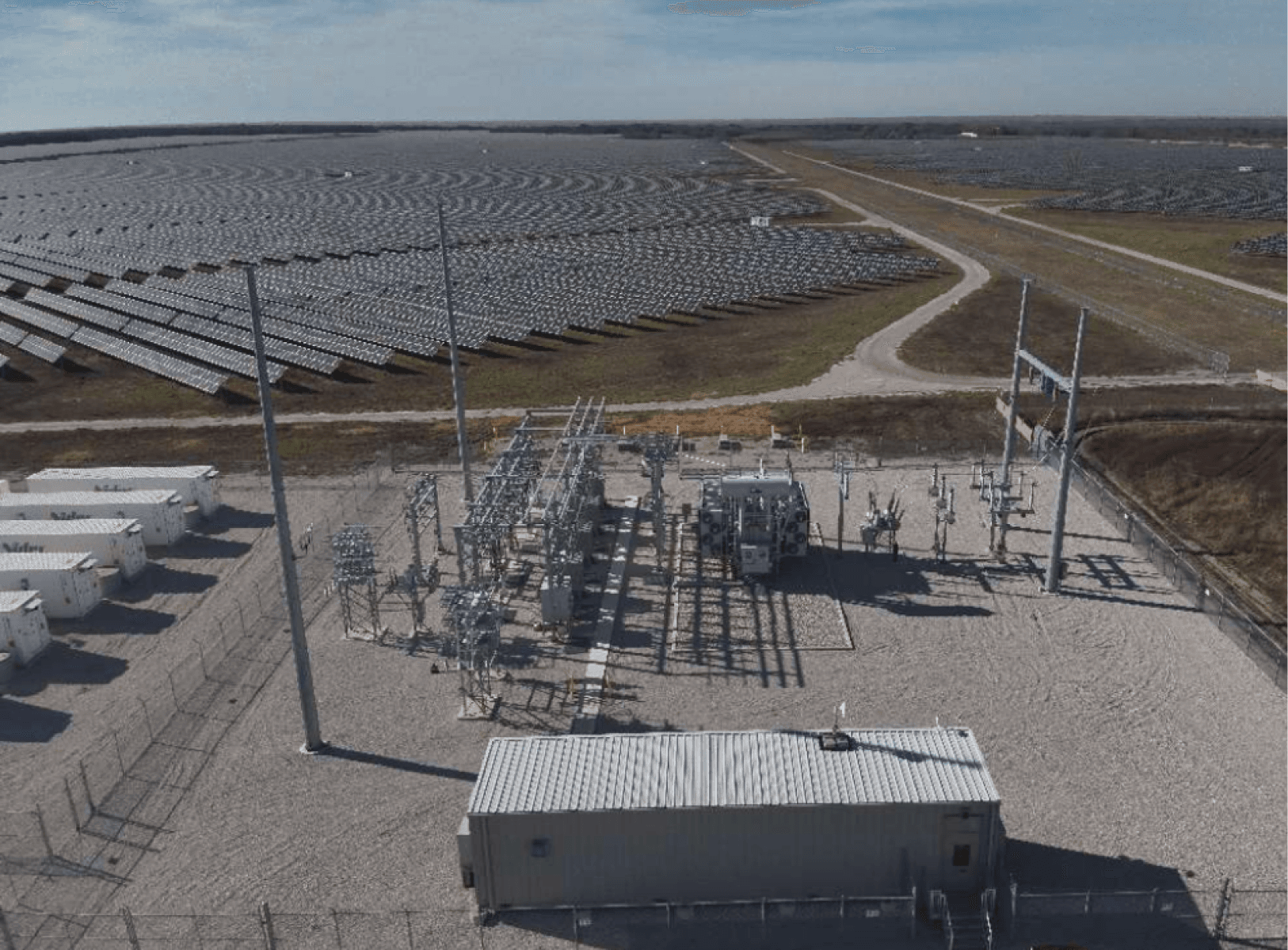
Substation remote inspection

Substation remote inspection

Substation remote inspection

Substation remote inspection
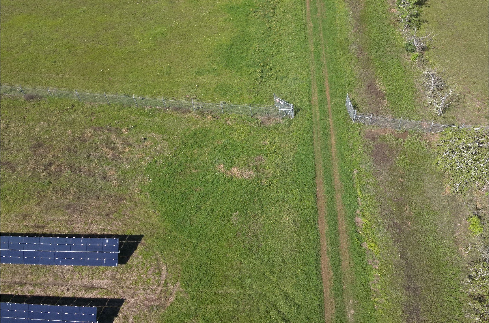
Safety and physical security monitoring

Safety and physical security monitoring

Safety and physical security monitoring

Safety and physical security monitoring
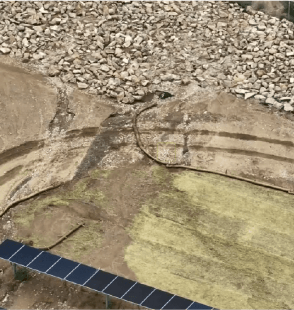
Erosion monitoring & control

Erosion monitoring & control

Erosion monitoring & control

Erosion monitoring & control
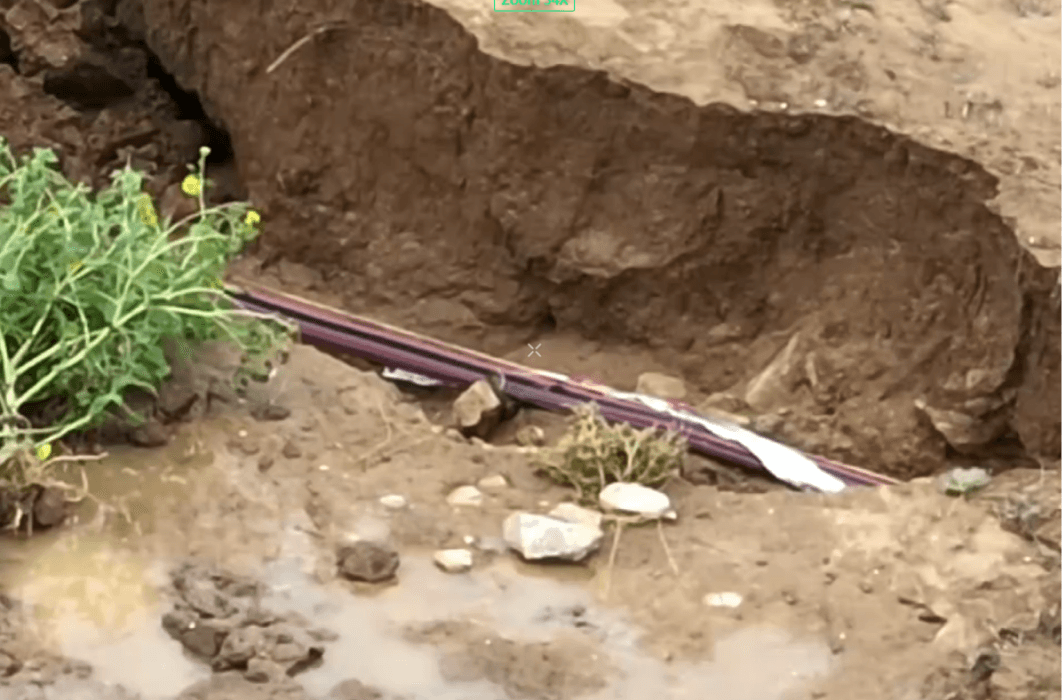
Storm response

Storm response

Storm response

Storm response
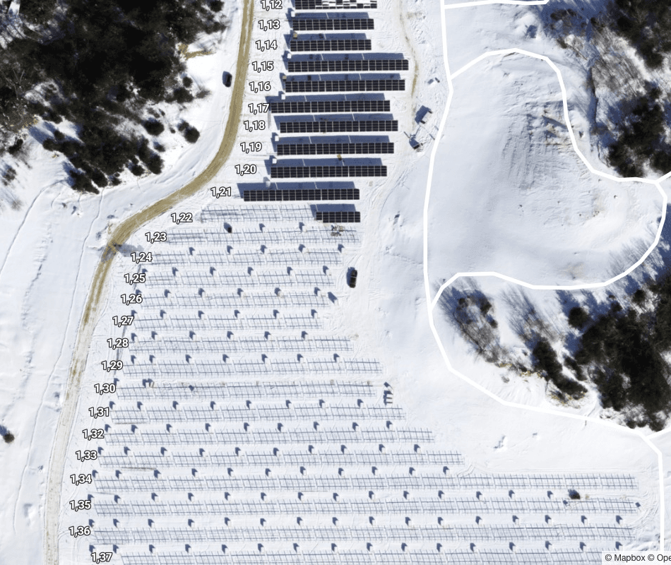
Construction verification

Construction verification

Construction verification

Construction verification

Site walk and visual investigation

Site walk and visual investigation

Site walk and visual investigation

Site walk and visual investigation
Why we're trusted by 400+ companies
Fast turnaround, more accurate reporting
Proprietary AI-driven and dedicated project team ensures timely delivery of reliable reporting required to get your asset’s energy yield back on track. Deep domain expertise and partnerships with leading OEMs mean we’re at the forefront of anomaly detection standards.
Detailed, actionable insights to boost your energy yield
Granular classification of anomalies enables stronger prioritization and more strategic remediation strategies across your portfolio, ultimately boosting power production and reducing operating costs
Detailed, actionable insights to boost your energy yield
Granular classification of anomalies enables stronger prioritization and more strategic remediation strategies across your portfolio, ultimately boosting power production and reducing operating costs
Detailed, actionable insights to boost your energy yield
Granular classification of anomalies enables stronger prioritization and more strategic remediation strategies across your portfolio, ultimately boosting power production and reducing operating costs
Detailed, actionable insights to boost your energy yield
Granular classification of anomalies enables stronger prioritization and more strategic remediation strategies across your portfolio, ultimately boosting power production and reducing operating costs
Detailed, actionable insights to boost your energy yield
Granular classification of anomalies enables stronger prioritization and more strategic remediation strategies across your portfolio, ultimately boosting power production and reducing operating costs
Delivered through an interactive, geospatial digital twin
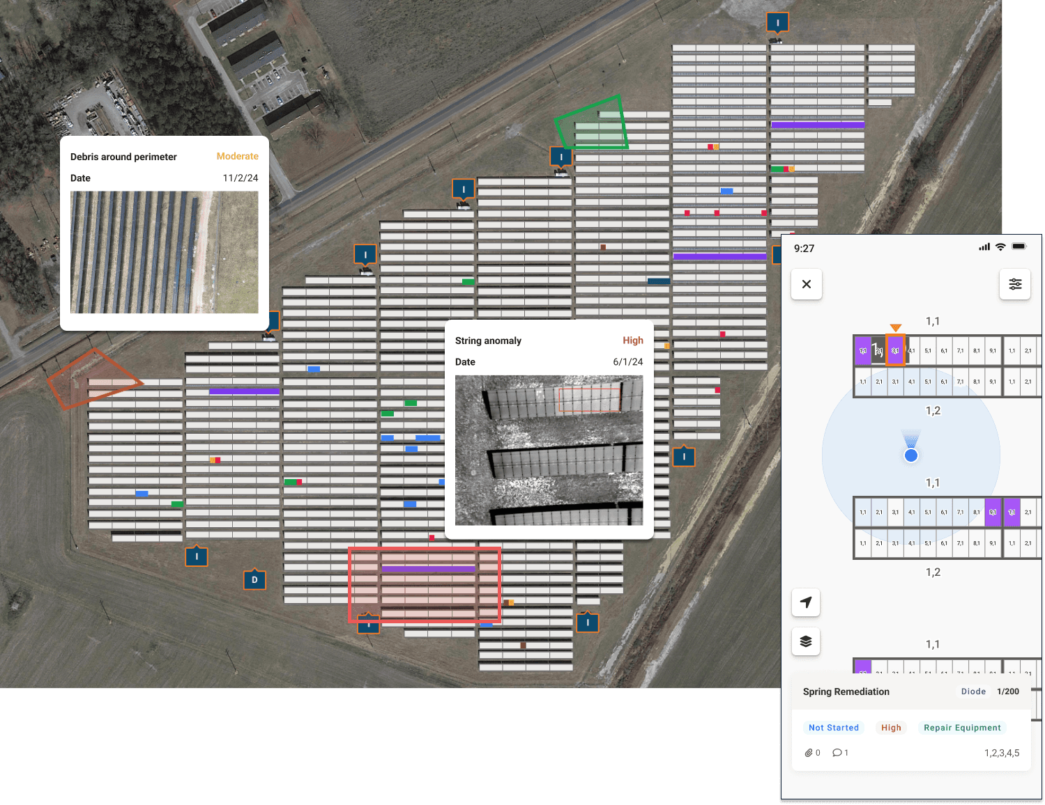
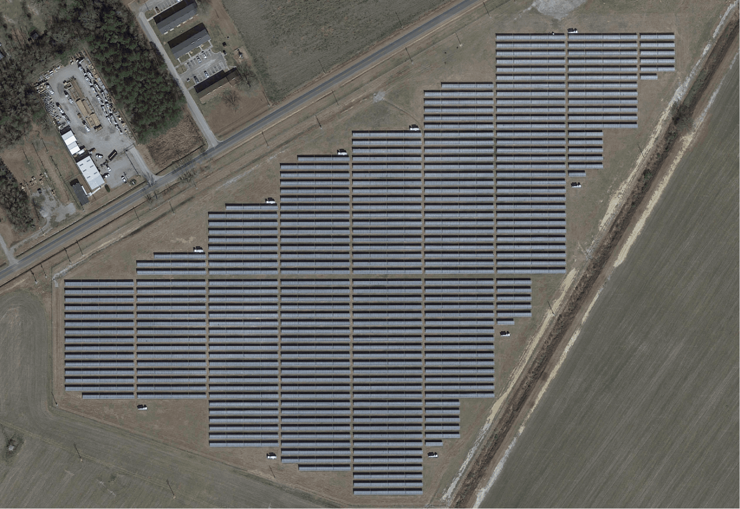
Go beyond simple PDF reports and digitize your entire farm, with every anomaly localized and geotagged to precise locations on an interactive, map-based digital twin of your assets. Layer in power production data, equipment maintenance history, and more to gain a 360 degree view of your assets, all from one platform.
Take the digital twin into the field
Empower your on-site teams with our easy-to-use mobile digital twins, helping them locate and navigate to issues needing remediation. Improve safety and efficiency of field work. Available in offline mode when signal gets spotty.
Take the digital twin into the field
Empower your on-site teams with our easy-to-use mobile digital twins, helping them locate and navigate to issues needing remediation. Improve safety and efficiency of field work. Available in offline mode when signal gets spotty.
Take the digital twin into the field
Empower your on-site teams with our easy-to-use mobile digital twins, helping them locate and navigate to issues needing remediation. Improve safety and efficiency of field work. Available in offline mode when signal gets spotty.
Take the digital twin into the field
Empower your on-site teams with our easy-to-use mobile digital twins, helping them locate and navigate to issues needing remediation. Improve safety and efficiency of field work. Available in offline mode when signal gets spotty.
Take the digital twin into the field
Empower your on-site teams with our easy-to-use mobile digital twins, helping them locate and navigate to issues needing remediation. Improve safety and efficiency of field work. Available in offline mode when signal gets spotty.
Domain expertise, with dedicated operations team
Our focus on solar means intense focus on delivering solutions built specifically for you, led by subject matter experts.
Domain expertise, with dedicated operations team
Our focus on solar means intense focus on delivering solutions built specifically for you, led by subject matter experts.
Domain expertise, with dedicated operations team
Our focus on solar means intense focus on delivering solutions built specifically for you, led by subject matter experts.
Domain expertise, with dedicated operations team
Our focus on solar means intense focus on delivering solutions built specifically for you, led by subject matter experts.
Domain expertise, with dedicated operations team
Our focus on solar means intense focus on delivering solutions built specifically for you, led by subject matter experts.
Digitize previous inspections for the full history of your asset
Store the full historical record of your site by digitizing previous inspections, regardless of provider, and gain a holistic view of DC health across your portfolio.
Digitize previous inspections for the full history of your asset
Store the full historical record of your site by digitizing previous inspections, regardless of provider, and gain a holistic view of DC health across your portfolio.
Digitize previous inspections for the full history of your asset
Store the full historical record of your site by digitizing previous inspections, regardless of provider, and gain a holistic view of DC health across your portfolio.
Digitize previous inspections for the full history of your asset
Store the full historical record of your site by digitizing previous inspections, regardless of provider, and gain a holistic view of DC health across your portfolio.
Digitize previous inspections for the full history of your asset
Store the full historical record of your site by digitizing previous inspections, regardless of provider, and gain a holistic view of DC health across your portfolio.
Data collection methods
What can we inspect for you?
Raptor Maps can scale visual and thermal analytics across utility-scale sites and gigawatt-scale fleets. Our team can provide you guidance on how you can scale visual analytics across your fleet.
Links & Support
Stay Up to Date
Subscribe to our newsletter and stay informed about innovations in solar asset optimization, deploying robotics for solar, our research and testing with OEMs, the latest in our product development, and more.
Links & Support
Stay Up to Date
Subscribe to our newsletter and stay informed about innovations in solar asset optimization, deploying robotics for solar, our research and testing with OEMs, the latest in our product development, and more.
Links & Support
Stay Up to Date
Subscribe to our newsletter and stay informed about innovations in solar asset optimization, deploying robotics for solar, our research and testing with OEMs, the latest in our product development, and more.
Links & Support
Stay Up to Date
Subscribe to our newsletter and stay informed about innovations in solar asset optimization, deploying robotics for solar, our research and testing with OEMs, the latest in our product development, and more.
Links & Support
Stay Up to Date
Subscribe to our newsletter and stay informed about innovations in solar asset optimization, deploying robotics for solar, our research and testing with OEMs, the latest in our product development, and more.

