This post was written in partnership with the University of Louisiana at Lafayette (UL Lafayette).
An investigation into how long pilots should wait for PV inverters to come online before beginning an IR inspection
Having all solar modules online is a precondition for solar farm inspections, but large solar PV equipment, including inverters, are often offline for preventative maintenance, curtailment, or scheduled outages. Recognizing these operational limitations, Raptor Maps conducted an investigation into exactly how long it takes for inverters to warm up, reducing the need for guesswork and helping to ensure that pilots don’t run inspections that result in incomplete data collection.
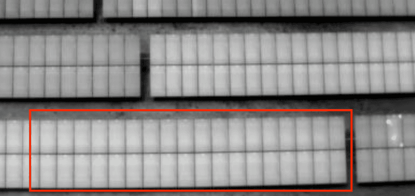
In partnership with the University of Louisiana at Lafayette (UL Lafayette), Raptor Maps conducted a set of experiments at the 1.1MW Louisiana Solar Energy Lab (LaSEL), including efforts to accurately define how long it takes for an array to “warm up” after re-energization. For the purposes of these experiments, arrays were considered warmed up when thermal anomalies were clearly visible and diagnosable via aerial infrared (IR) imagery.
Raptor Maps established both a baseline average module temperature in Standard Test Conditions (STC) and calculated the temperature delta for a module with confirmed cell damage. A drone was deployed and periodically captured IR imagery while three inverters were simultaneously de-energized and re-energized. Imagery was captured every minute until it was observed that both average module temperatures and temperature deltas of cell defects matched that of baseline measurements. Approximately 25 minutes after re-energization in STC, thermal anomalies became visible, diagnosable, and measurable for accurate temperature deltas.

Based on the findings, Raptor Maps strongly recommends that pilots wait no less than 25 minutes following inverter re-energization in acceptable environmental conditions before beginning an inspection. Incorporating this waiting period is critical for successful flight operations, as it will eliminate excess re-flights, allow for accurate thermal anomaly detection, and maximize pilot efficiency while on-site.
Next steps
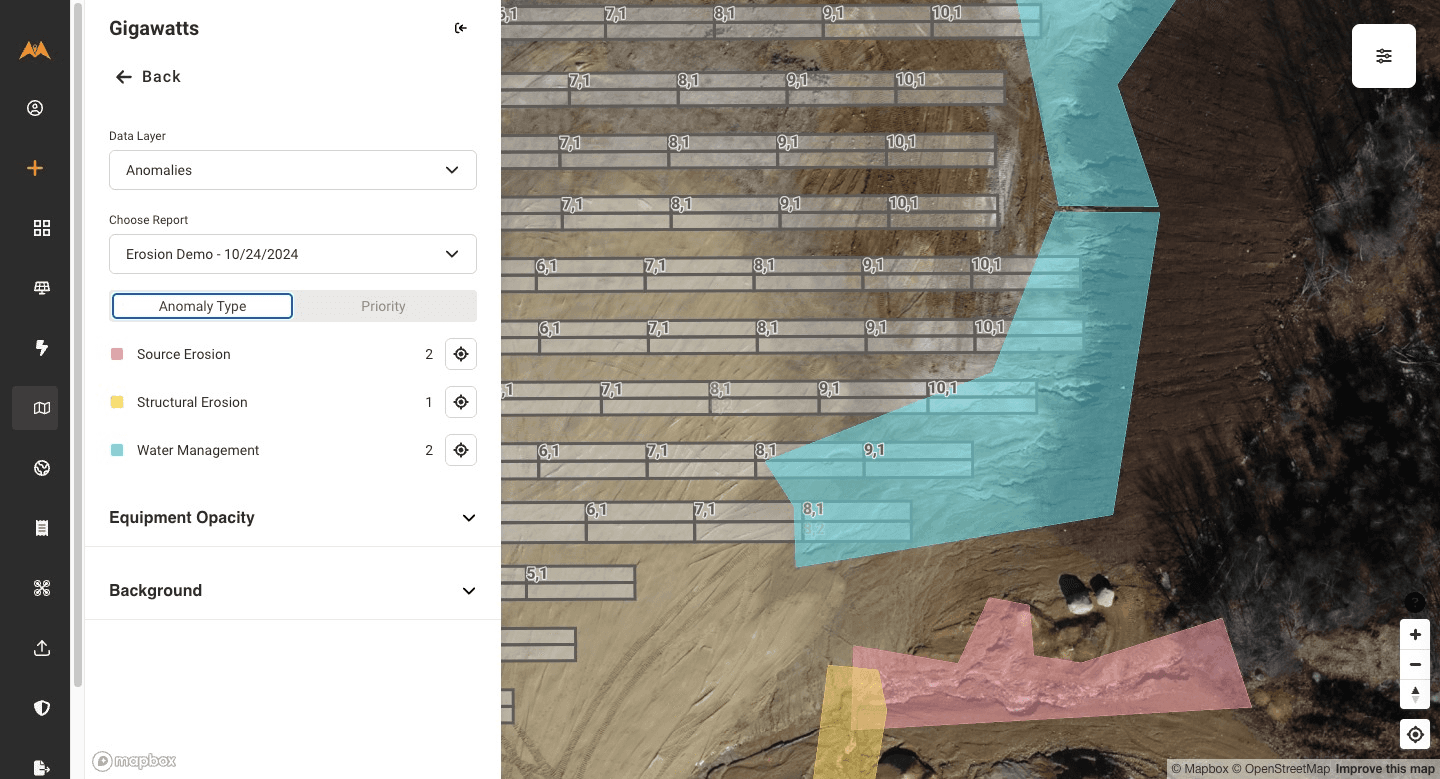
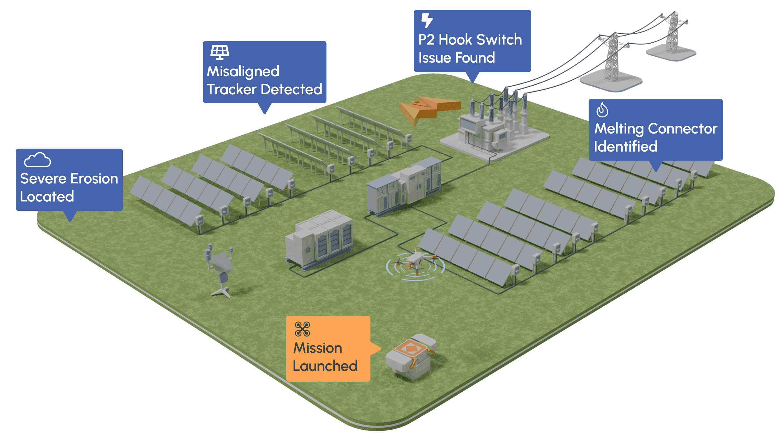
From the civil engineering on your site down to the wiring on the back of your panels, the Raptor Solar platform provides you detailed, up-to-date data on the conditions and performance of your solar fleet so that your team has the intel they need to do their jobs effectively, quickly, and safely.


