Raptor Maps & FLIR
In collaboration with our partner FLIR, a guide to inspection solar fields with thermal drones.

Download Resource
Hubspot
Set a portal ID and form in the Properties.
Other Reports
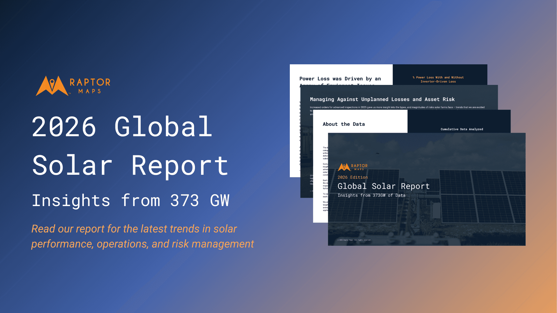
2026 Global Solar Report
Raptor Maps studies the performance and risk profiles of solar assets around the world in order to distill industry trends and to highlight opportunities for the rapidly growing solar industry. This report is a summary of Raptor Maps’ research. The 2026 Global Solar Report draws upon 373 GWdc of utility-scale and commercial and industrial (C&I) solar PV analysis, including more than 75GW of non-DC health inspections. This report includes new analysis on the impact of robotic automation on solar performance, risk factors such as high voltage equipment, and a guest article from kWh Analytics on insurance costs.
Learn More

2025 State of Solar Robotics
This inaugural report looks at how solar developers, builders, owners, and operators use and perceive technology & robotics on solar farms. It answers the questions: What technology & robotics are people using? What value are they getting? Does this value differ if you're an owner or an operator? As well as how the solar industry is projected to respond to several macroeconomic factors reshaping the industry today.
Learn More

Solar's Ultimate Guide to Remote Monitoring & Response with Robotics
Drawing from learnings and data from over 3GW of installed autonomous docked drone capacity, this eBook provides a comprehensive summary of top use cases of autonomous drones, case studies with ROI, and the checklist for successful integration and operationalization.
Learn More
Links & Support
Stay Up to Date
Subscribe to our newsletter and stay informed about innovations in solar asset optimization, deploying robotics for solar, our research and testing with OEMs, the latest in our product development, and more.
Links & Support
Stay Up to Date
Subscribe to our newsletter and stay informed about innovations in solar asset optimization, deploying robotics for solar, our research and testing with OEMs, the latest in our product development, and more.
Links & Support
Stay Up to Date
Subscribe to our newsletter and stay informed about innovations in solar asset optimization, deploying robotics for solar, our research and testing with OEMs, the latest in our product development, and more.