
Apex Clean Energy has over 2 GW of clean energy assets under management. Across their solar fleet, they have deployed Sentry, Raptor Maps’ robotic inspection solution, leveraging remotely operable autonomous drones to optimize asset reliability, risk management, and critical event response.
In the case study below, we review how Apex used Sentry to respond to a tornado on a 200+ MW site in the Midwest, simultaneously helping to keep the site team safe and the site energized in the aftermath of the event. For Apex, a tornado could have meant weeks or months of uncertainty and a precautionary shutdown. Instead, it meant a livestream within an hour, a site that never went fully dark, and claims-grade evidence stored in the site’s dynamic system of record for upcoming insurance and warranty processes.
Introduction
Severe weather is one of the most acute risks threatening solar farms today. Tornadoes, hail, and flooding events can strike with little warning, and for an increasing number of asset owners and operators, having a standard operating response that balances safety and speed of recovery is critical.
In the hours that follow a weather event, owners and operators face two competing pressures: get eyes on the damage fast enough to protect people and equipment, and get the site back online as quickly as it's safe to do so. But traditionally, this has meant waiting on a piloted drone team or a physical walk-down, processes that can take days, if not weeks, to mobilize, all while a site sits offline and executives are left without answers.
Best-in-class rapid response now looks different. Increasingly, rapid response SOPs are being built around autonomous, drone-in-a-box platforms that live permanently onsite and can be triggered rapidly after an incident. Autonomous drone infrastructure enables three things simultaneously: on-demand eyes-in-the-sky without exposing workers to potentially unsafe conditions, flexible redeployment as the situation develops, and a dynamic, verifiable data trail as Sentry operates.
When Apex Clean Energy faced an unexpected tornado strike at one of its sites, this playbook was put to the test.
The Incident
The call came in from Apex's asset management team: a tornado had touched down at one of their solar sites. The immediate questions were the ones every operator has top of mind: is everyone okay? Is the substation intact? Is it safe to keep the site energized? How much equipment was affected, and where?
Because Raptor Maps' Sentry system was already deployed onsite, Apex didn't have to wait for a crew to be dispatched. Within an hour of that first call, the Raptor Maps Remote Operations Center was flying a Sentry unit over the site, livestreaming aerial footage of the damage and critical infrastructure directly to Apex's leadership.
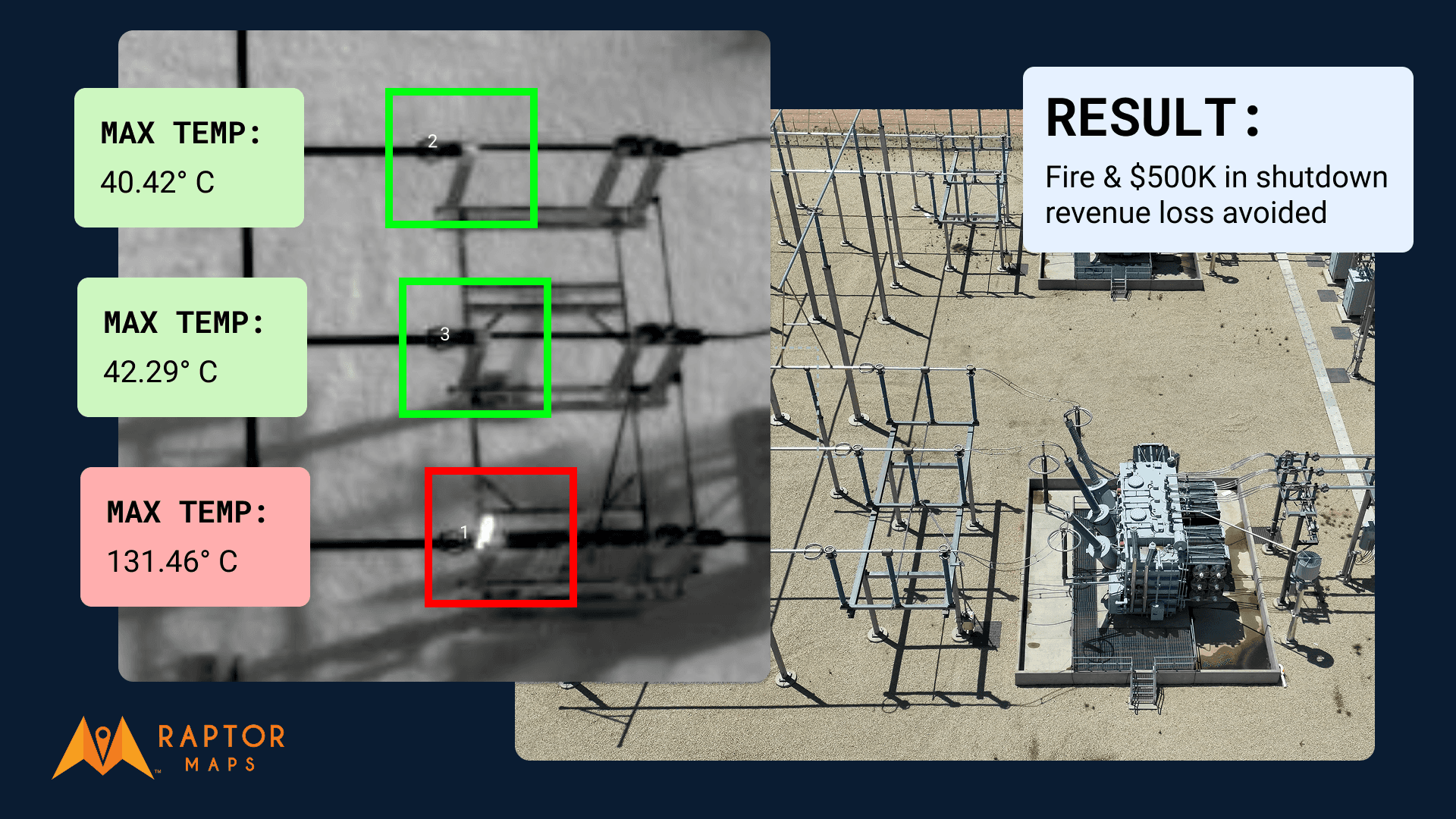
That first flight prioritized the highest-stakes question on everyone's mind: was the substation clear of debris on top of the main power transformer and safe to continue operations? Confirming that early gave Apex's executive team the confidence that a full site shutdown wasn't necessary, and that the grid connection itself hadn't been compromised.

The Follow-Up: Turning Triage Into Certainty
A first look after a storm tells you what's urgent, but it doesn't tell you everything. In the days that followed, Raptor Maps executed a cascade of follow-up inspections using Sentry, each one narrowing in on more granular signs of damage: cracked modules, trackers knocked out of position, and erosion around foundations and drainage areas.
Instead of requiring a physical person to come to site and fly a drone, spending multiple days to assess the storm damage, a cost that adds up quickly and adds time, Sentry was able to flexibly gather data as the site team required it until the full scope of damage was understood.
The result was a site that stayed operational. Instead of a precautionary shutdown driven by uncertainty, Apex's team had continuous, data-backed confirmation that the site was safe to run while remediation work proceeded around it.
Apex’s Vice President of Operations, Neil James, shared:
"After the tornado, Sentry was in the air the moment it was safe to fly, live-streaming the site to our executive team. This gave us the confidence that we did not need to de-energize.
Because of Sentry, we were able to begin our remediation efforts 25% faster than we otherwise would have been able to do. Most importantly, Sentry helped keep our technicians out of harm's way by giving us the intelligence that we needed remotely, across our whole site."
After the Storm
The value of this rapid inspection cascade didn't stop at operational continuity. Every flight Sentry has conducted since being deployed on-site becomes part of a growing, timestamped ledger of the site's condition before and after the storm. Said differently, it becomes a digital system of record for every piece of equipment on-site.
As Apex moves through insurance and warranty processes, this data – objective visual proof verified by a third party – will enable both sides to work from a singular source of truth, which will ideally expedite the process for both parties.

Conclusion
This is what a modern rapid response playbook looks like: autonomous infrastructure that's already in position before disaster strikes, capable of turning an emergency call into a livestream within the hour. It's the ability to triage the most critical questions first, then pivot into a flexible, iterative inspection cadence that matches the pace of recovery rather than a fixed schedule bounded by physical, in-person time constraints. And it's a data trail robust enough to do double duty: keeping a site running safely, and giving finance and insurance teams the documentation they need to have transparent negotiations with insurers and OEMs.
If you’d like to learn more about how autonomous drones are increasingly being used to manage risk and respond to events on utility scale solar sites, please contact our team at the link below.
Next steps
From the civil engineering on your site down to the wiring on the back of your panels, the Raptor Solar platform provides you detailed, up-to-date data on the conditions and performance of your solar fleet so that your team has the intel they need to do their jobs effectively, quickly, and safely.