The latest version of our Mobile App upgrades the way you collect data, display analytics, and perform tasks on site. It now offers offline functionality for all Mobile App features, faster app speeds, and improved performance for larger sites. Additionally, new ways to interact with the Digital Twin provides an easier way to assign tasks to technicians directly from the Raptor Maps desktop app.
Optimized Mobile Experience: Faster Access and Offline Functionality
Our new Mobile App delivers faster and selective downloads, so you can download only the data you need in areas with no cell service. It also contains significant performance boosts to support sites of all sizes, and allows you to add notes, update anomaly priority, and serial numbers, all while offline.
Download the beta version of the mobile app now: App Store and Android
Enhanced Map Usability and a New Tasks Function
Using filters or drawing a box on the map, you can now select multiple anomalies at once and generate a Task List for your technicians to address. Check out our videos about how the Task layer works and how you can select anomalies to build Task lists.

We’ve upgraded your user experience on our maps. We now digitize circuit blocks by default and cluster anomalies and tasks by circuit block so that you can quickly scan for high-density anomalies. Clusters also respond to filters.
Meanwhile, background files, such as as-builts and orthos, now display by default in all data layers, offering crucial context for the digital twin. When selecting any of the Equipment, Anomalies, Notes, or Tasks layers, these background files will automatically load and you can adjust opacity as required.
New Raptor Solar Sentry Mission Types Added
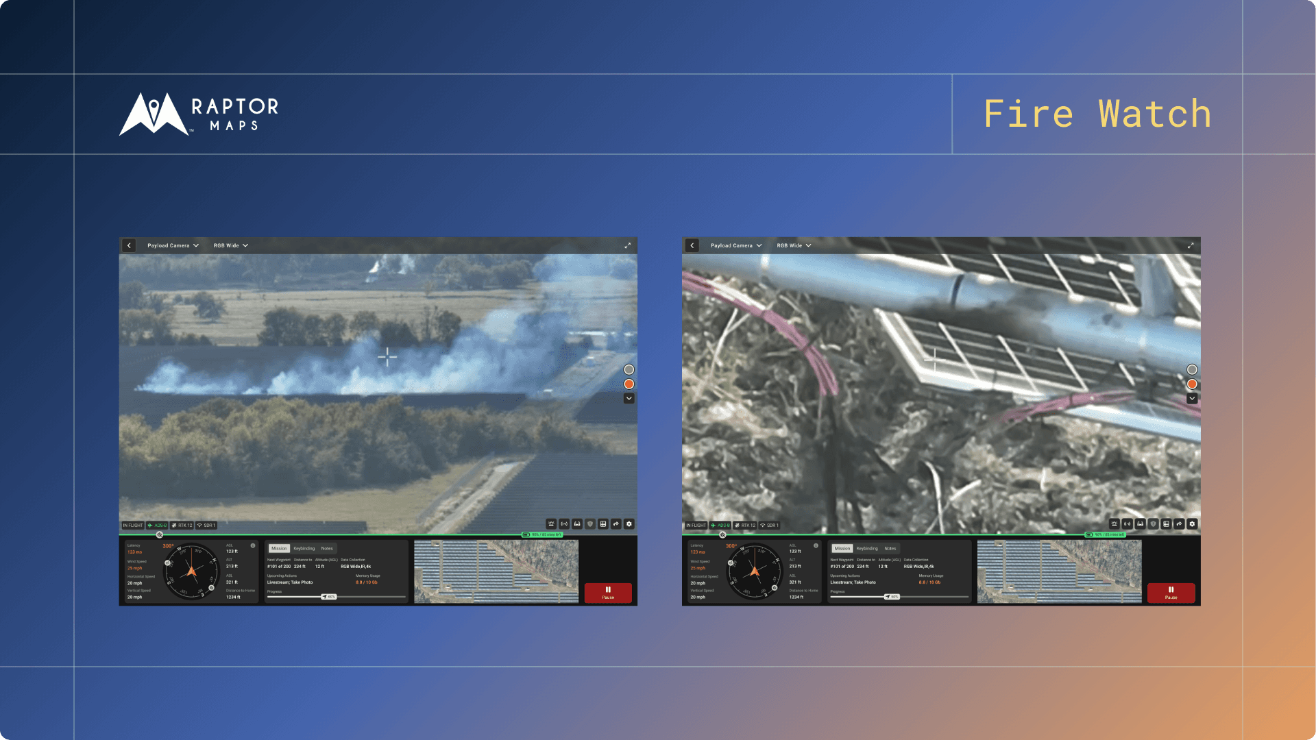
Raptor Solar Sentry, our solution for autonomous drone operations, now offers an expanded array of mission types, including substation inspections, alert-response missions, perimeter missions, and wiring missions
Raptor Flight, our software tool for generating drone flight paths, now also includes advanced mission planning capabilities and more flight types.
Next steps
From the civil engineering on your site down to the wiring on the back of your panels, the Raptor Solar platform provides you detailed, up-to-date data on the conditions and performance of your solar fleet so that your team has the intel they need to do their jobs effectively, quickly, and safely.


