Getting Started
Information to Provide
Uploading Data
Raptor App
Raptor Mobile App
Instant Inspections
Instant Inspections - Data Notes
Aerial Thermography Ops — Drones
Aerial Thermography Ops — Manned Aircraft
How to View Construction Monitoring Deliverables
How to View Construction Monitoring Deliverables
How to View Construction Monitoring Deliverables
How to View Construction Monitoring Deliverables
How to View Construction Monitoring Deliverables
Search…
Want to learn more about Construction Monitoring? Click here.
Navigate to your Construction monitoring analysis
You can access your analysis several ways:
Click on “Solar Sites”, select your site, click “Inspections” and then click the most-recent Construction inspection
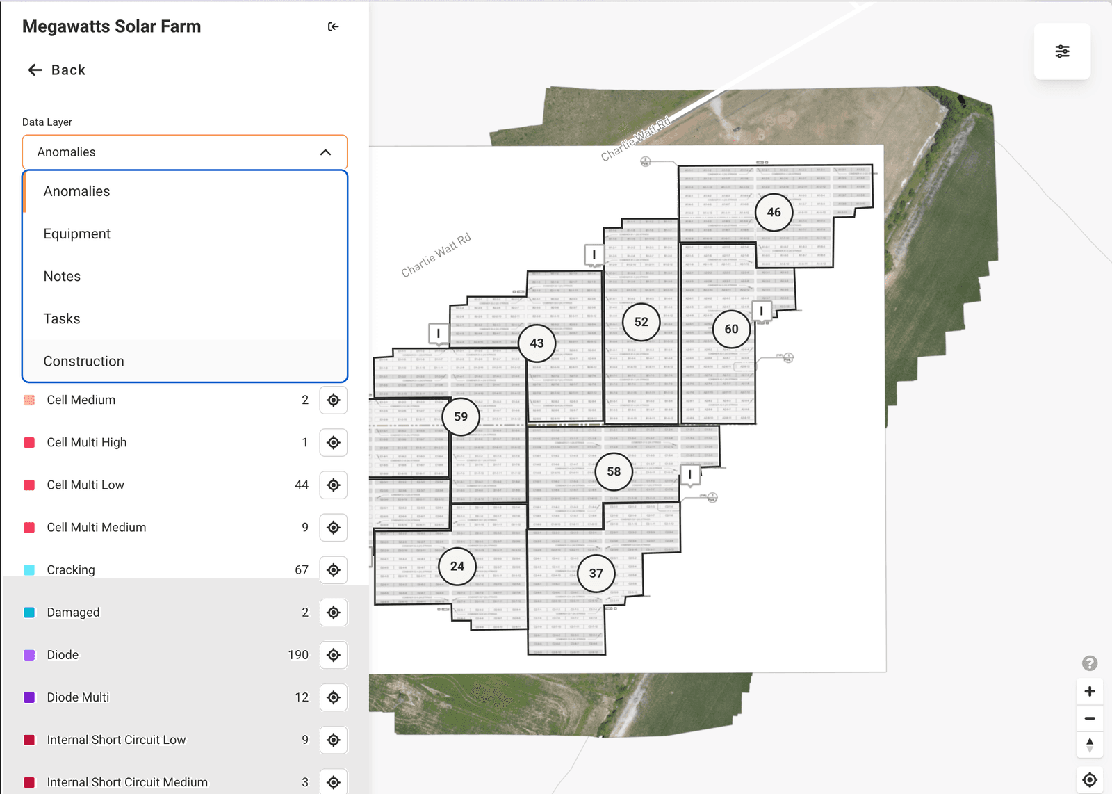
Click on “Digital Twin”, select your site, change the data layer in the map to “Construction” and the most-recent Construction inspection should load automatically
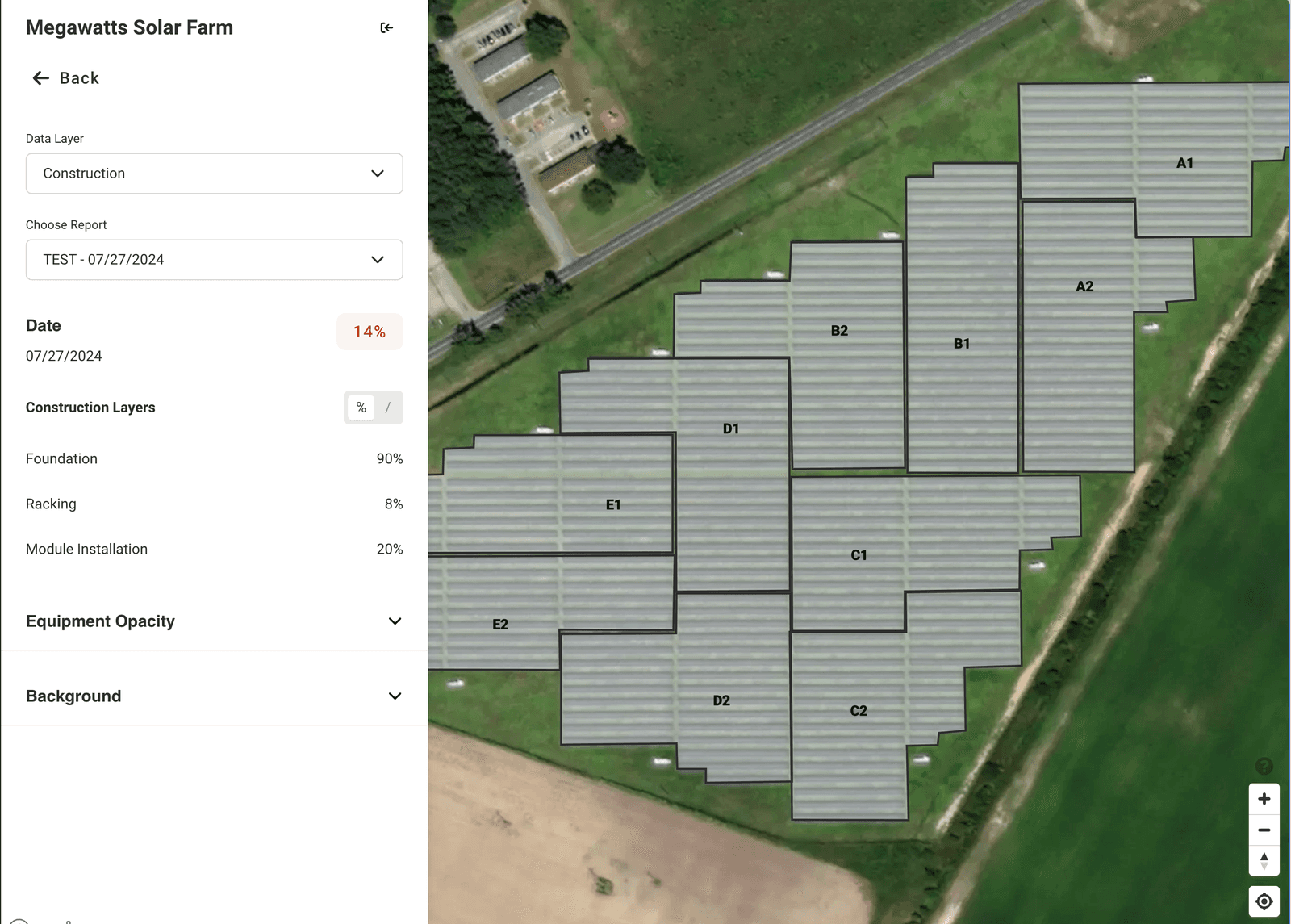
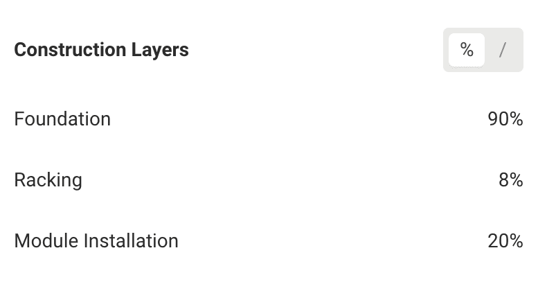
Toggle between total counts and percentages
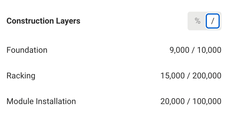
Click on the “%” or “/” toggles to move between percentage totals and total counts
You will see the total counts inputted on the “Site Info” page for each element
View imagery collected via drone
You will see orthomosaics available in the “Background” section of the Map settings. You can toggle the opacity for each available orthomosaic.
Pins on the map with camera icons 📷 represent images taken by the drone
Click on a pin in order to view the image
Resize and move the image viewer as needed
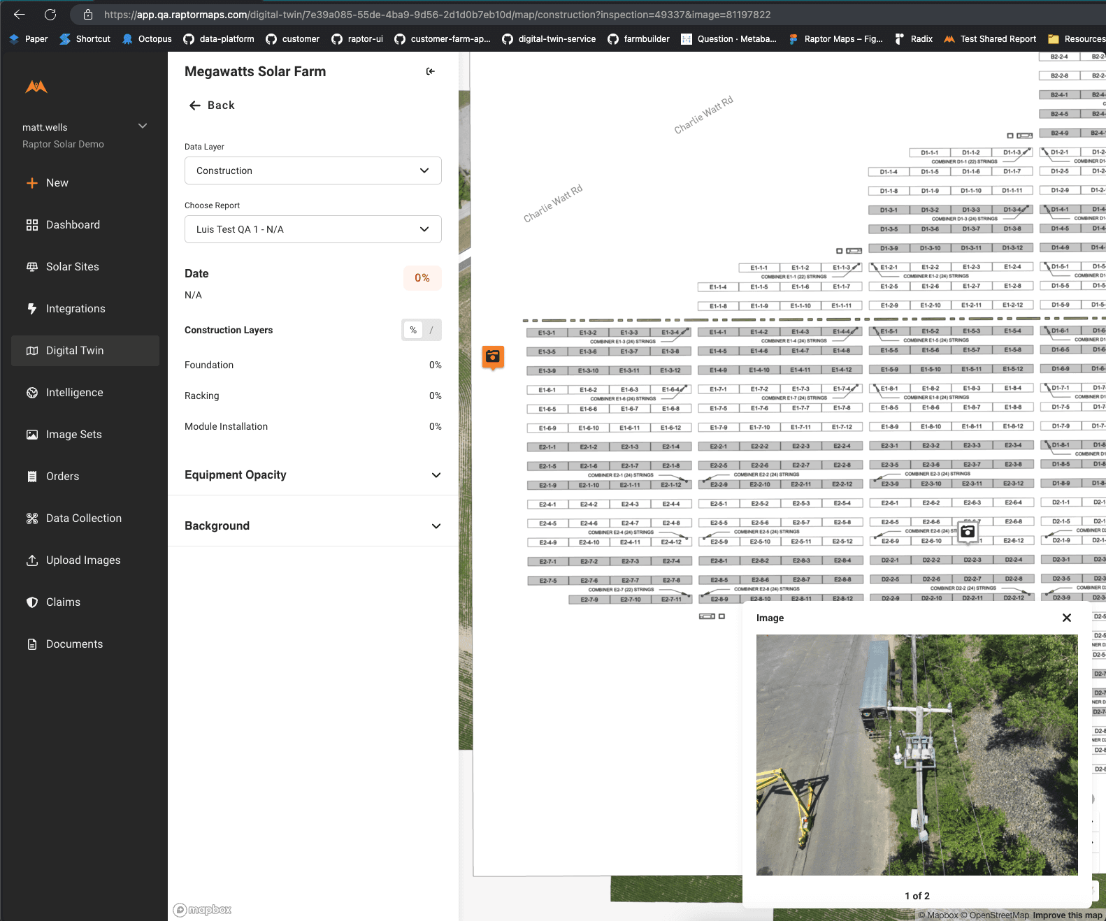
Select other Construction monitoring analysis (past or future)
Select the “Choose Report” dropdown to choose analysis from a different date
You will see the analysis and image pins on the map update
Links & Support
Stay Up to Date
Subscribe to our newsletter and stay informed about innovations in solar asset optimization, deploying robotics for solar, our research and testing with OEMs, the latest in our product development, and more.
Links & Support
Stay Up to Date
Subscribe to our newsletter and stay informed about innovations in solar asset optimization, deploying robotics for solar, our research and testing with OEMs, the latest in our product development, and more.
Links & Support
Stay Up to Date
Subscribe to our newsletter and stay informed about innovations in solar asset optimization, deploying robotics for solar, our research and testing with OEMs, the latest in our product development, and more.
Links & Support
Stay Up to Date
Subscribe to our newsletter and stay informed about innovations in solar asset optimization, deploying robotics for solar, our research and testing with OEMs, the latest in our product development, and more.
Links & Support
Stay Up to Date
Subscribe to our newsletter and stay informed about innovations in solar asset optimization, deploying robotics for solar, our research and testing with OEMs, the latest in our product development, and more.